Distance to Tekapo, New Mexico

Calculating Your Route
Just a moment while we process your request...
Location Information
-
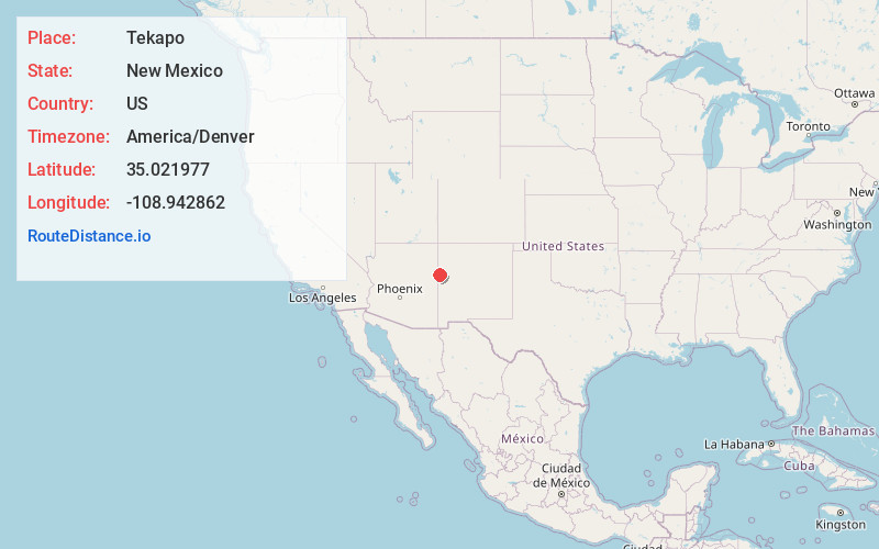
Full AddressTekapo, NM
-
Coordinates35.0219774, -108.9428623
-
LocationNew Mexico , US
-
TimezoneAmerica/Denver
-
Current Local Time3:15:50 AM America/DenverSunday, June 8, 2025
-
Page Views0
Nearby Places
Found 10 places within 50 miles

Zuni
6.3 mi
10.1 km
Zuni, NM
Get directions

Chi Chil Tah
15.8 mi
25.4 km
Chi Chil Tah, NM 87305
Get directions

Vanderwagen
20.4 mi
32.8 km
Vanderwagen, NM 87326
Get directions
Pescado
21.3 mi
34.3 km
Pescado, NM
Get directions

Houck
23.4 mi
37.7 km
Houck, AZ
Get directions

Lupton
23.8 mi
38.3 km
Lupton, AZ 86508
Get directions

Sanders
25.4 mi
40.9 km
Sanders, AZ 86512
Get directions
Lower Nutria
25.7 mi
41.4 km
Lower Nutria, NM
Get directions
Pinehaven
26.4 mi
42.5 km
Pinehaven, NM
Get directions

Candy Kitchen
26.9 mi
43.3 km
Candy Kitchen, NM 87321
Get directions
Location Links
Local Weather
Weather Information
Coming soon!
Location Map
Static map view of Tekapo, New Mexico
Browse Places by Distance
Places within specific distances from Tekapo
Short Distances
Long Distances
Click any distance to see all places within that range from Tekapo. Distances shown in miles (1 mile ≈ 1.61 kilometers).