Distance to and from Teterboro Airport, New Jersey
Teterboro Airport, 111 Industrial Ave, Teterboro, NJ 07608
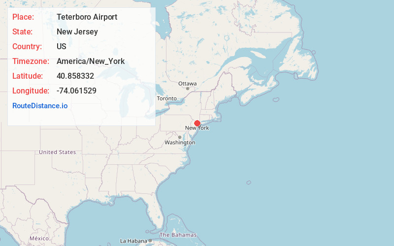
Teterboro
New Jersey
US
America/New_York
Location Information
-
Full AddressTeterboro Airport, 111 Industrial Ave, Teterboro, NJ 07608
-
Coordinates40.858332, -74.0615292
-
Street111 Industrial Ave
-
LocationTeterboro , New Jersey , US
-
TimezoneAmerica/New_York
-
Current Local Time12:31:19 PM America/New_YorkSaturday, May 3, 2025
-
Page Views0
Directions to Nearest Cities


Nearby Places
Found 10 places within 50 miles

South Hackensack
1.0 mi
1.6 km
South Hackensack, NJ
Get directions

Wood-Ridge
1.4 mi
2.3 km
Wood-Ridge, NJ
Get directions

Moonachie
1.4 mi
2.3 km
Moonachie, NJ
Get directions

Little Ferry
1.5 mi
2.4 km
Little Ferry, NJ 07643
Get directions

Lodi
1.8 mi
2.9 km
Lodi, NJ 07644
Get directions

Carlstadt
2.0 mi
3.2 km
Carlstadt, NJ
Get directions

Bogota
2.1 mi
3.4 km
Bogota, NJ
Get directions

Hackensack
2.1 mi
3.4 km
Hackensack, NJ
Get directions

Ridgefield Park
2.2 mi
3.5 km
Ridgefield Park, NJ
Get directions

East Rutherford
2.5 mi
4.0 km
East Rutherford, NJ
Get directions
South Hackensack
1.0 mi
1.6 km
South Hackensack, NJ
Wood-Ridge
1.4 mi
2.3 km
Wood-Ridge, NJ
Moonachie
1.4 mi
2.3 km
Moonachie, NJ
Little Ferry
1.5 mi
2.4 km
Little Ferry, NJ 07643
Lodi
1.8 mi
2.9 km
Lodi, NJ 07644
Carlstadt
2.0 mi
3.2 km
Carlstadt, NJ
Bogota
2.1 mi
3.4 km
Bogota, NJ
Hackensack
2.1 mi
3.4 km
Hackensack, NJ
Ridgefield Park
2.2 mi
3.5 km
Ridgefield Park, NJ
East Rutherford
2.5 mi
4.0 km
East Rutherford, NJ
Location Links
Local Weather
Weather Information
Coming soon!
Location Map
Static map view of Teterboro Airport, New Jersey
Browse Places by Distance
Places within specific distances from Teterboro Airport
Short Distances
Long Distances
Click any distance to see all places within that range from Teterboro Airport. Distances shown in miles (1 mile ≈ 1.61 kilometers).