Distance to Tetotum, Virginia

Calculating Your Route
Just a moment while we process your request...
Location Information
-
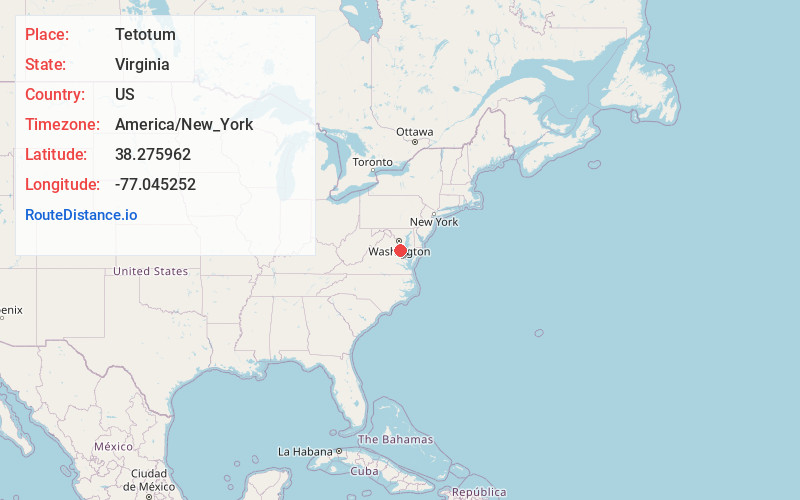
Full AddressTetotum, VA 22485
-
Coordinates38.2759618, -77.045252
-
LocationVirginia , US
-
TimezoneAmerica/New_York
-
Current Local Time1:48:08 PM America/New_YorkWednesday, June 18, 2025
-
Page Views0
About Tetotum
Tetotum is an unincorporated community in King George County, Virginia, United States.
Nearby Places
Found 10 places within 50 miles

Ninde
0.7 mi
1.1 km
Ninde, VA 22485
Get directions

Dahlgren
3.8 mi
6.1 km
Dahlgren, VA 22485
Get directions
Chestnut Hill
3.9 mi
6.3 km
Chestnut Hill, VA 22485
Get directions

Colonial Beach
4.7 mi
7.6 km
Colonial Beach, VA 22443
Get directions
Oak Grove
7.0 mi
11.3 km
Oak Grove, VA 22443
Get directions

King George
7.4 mi
11.9 km
King George, VA 22485
Get directions
Ambar
8.0 mi
12.9 km
Ambar, VA 22485
Get directions

Newburg
8.6 mi
13.8 km
Newburg, MD 20664
Get directions
Mt Victoria
9.7 mi
15.6 km
Mt Victoria, MD 20664
Get directions
Woodberry Beach
10.7 mi
17.2 km
Woodberry Beach, MD 20664
Get directions
Location Links
Local Weather
Weather Information
Coming soon!
Location Map
Static map view of Tetotum, Virginia
Browse Places by Distance
Places within specific distances from Tetotum
Short Distances
Long Distances
Click any distance to see all places within that range from Tetotum. Distances shown in miles (1 mile ≈ 1.61 kilometers).