Distance to The Cedars, California

Calculating Your Route
Just a moment while we process your request...
Location Information
-
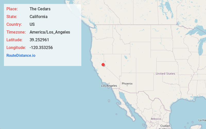
Full AddressThe Cedars, CA 96161
-
Coordinates39.2529607, -120.353256
-
LocationThe Cedars , California , US
-
TimezoneAmerica/Los_Angeles
-
Current Local Time2:09:28 PM America/Los_AngelesThursday, June 19, 2025
-
Page Views0
Nearby Places
Found 10 places within 50 miles

Soda Springs
5.1 mi
8.2 km
Soda Springs, CA 95728
Get directions

Kingvale
6.3 mi
10.1 km
Kingvale, CA 96161
Get directions

Troy
7.1 mi
11.4 km
Troy, CA 96161
Get directions

Olympic Valley
7.4 mi
11.9 km
Olympic Valley, CA 96146
Get directions

Truckee
10.5 mi
16.9 km
Truckee, CA 96161
Get directions
Rampart
11.2 mi
18.0 km
Rampart, CA 96146
Get directions

Tahoe City
12.6 mi
20.3 km
Tahoe City, CA
Get directions

Dollar Point
14.3 mi
23.0 km
Dollar Point, CA 96145
Get directions

Tahoe Vista
16.2 mi
26.1 km
Tahoe Vista, CA
Get directions

Boca
16.9 mi
27.2 km
Boca, CA 96161
Get directions
Location Links
Local Weather
Weather Information
Coming soon!
Location Map
Static map view of The Cedars, California
Browse Places by Distance
Places within specific distances from The Cedars
Short Distances
Long Distances
Click any distance to see all places within that range from The Cedars. Distances shown in miles (1 mile ≈ 1.61 kilometers).