Distance to Thomasville, Colorado

Calculating Your Route
Just a moment while we process your request...
Location Information
-
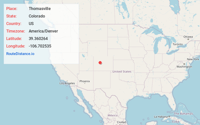
Full AddressThomasville, CO 81642
-
Coordinates39.3602637, -106.7025352
-
LocationColorado , US
-
TimezoneAmerica/Denver
-
Current Local Time9:00:23 PM America/DenverThursday, May 29, 2025
-
Page Views0
Nearby Places
Found 10 places within 50 miles

Norrie
3.5 mi
5.6 km
Norrie, CO 81642
Get directions
Nast
7.2 mi
11.6 km
Nast, CO 81642
Get directions
Fulford
11.0 mi
17.7 km
Fulford, CO 81632
Get directions

Woody Creek
11.5 mi
18.5 km
Woody Creek, CO
Get directions

Aspen
13.2 mi
21.2 km
Aspen, CO 81611
Get directions

Snowmass Village
16.2 mi
26.1 km
Snowmass Village, CO
Get directions
Wingo
16.5 mi
26.6 km
Wingo, CO 81654
Get directions
Carterville
18.9 mi
30.4 km
Carterville, Edwards, CO 81632
Get directions

Emma
19.2 mi
30.9 km
Emma, CO 81621
Get directions

Basalt
20.1 mi
32.3 km
Basalt, CO
Get directions
Location Links
Local Weather
Weather Information
Coming soon!
Location Map
Static map view of Thomasville, Colorado
Browse Places by Distance
Places within specific distances from Thomasville
Short Distances
Long Distances
Click any distance to see all places within that range from Thomasville. Distances shown in miles (1 mile ≈ 1.61 kilometers).