Distance to Ticaboo, Utah

Calculating Your Route
Just a moment while we process your request...
Location Information
-
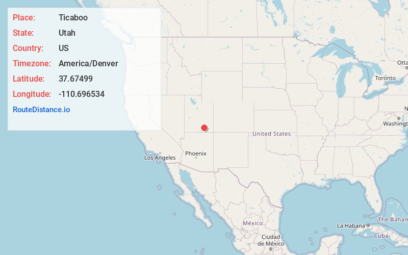
Full AddressTicaboo, UT 84533
-
Coordinates37.6749898, -110.6965342
-
LocationTicaboo , Utah , US
-
TimezoneAmerica/Denver
-
Current Local Time11:48:28 PM America/DenverFriday, June 20, 2025
-
Page Views0
About Ticaboo
Ticaboo is an unincorporated community in far southeastern Garfield County, Utah, United States.


Nearby Places
Found 10 places within 50 miles

Eggnog
10.6 mi
17.1 km
Eggnog, UT 84533
Get directions

Halls Crossing
15.1 mi
24.3 km
Halls Crossing, UT 84533
Get directions
Fry Canyon Store and RV Park
29.7 mi
47.8 km
Fry Canyon Store and RV Park, Lake Powell, UT 84533
Get directions
White Canyon Flat
29.7 mi
47.8 km
White Canyon Flat, Utah
Get directions

Boulder
42.9 mi
69.0 km
Boulder, UT 84716
Get directions

Notom
44.9 mi
72.3 km
Notom, UT 84775
Get directions

Navajo Mountain
45.6 mi
73.4 km
Navajo Mountain, UT 86044
Get directions

Hanksville
48.2 mi
77.6 km
Hanksville, UT 84734
Get directions

Caineville
48.7 mi
78.4 km
Caineville, UT 84775
Get directions

Escalante
49.9 mi
80.3 km
Escalante, UT 84726
Get directions
Location Links
Local Weather
Weather Information
Coming soon!
Location Map
Static map view of Ticaboo, Utah
Browse Places by Distance
Places within specific distances from Ticaboo
Short Distances
Long Distances
Click any distance to see all places within that range from Ticaboo. Distances shown in miles (1 mile ≈ 1.61 kilometers).