Distance to Tichnor, Arkansas

Calculating Your Route
Just a moment while we process your request...
Location Information
-
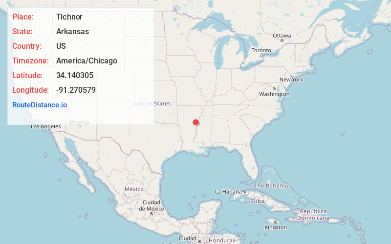
Full AddressTichnor, AR 72166
-
Coordinates34.1403051, -91.2705787
-
LocationTichnor , Arkansas , US
-
TimezoneAmerica/Chicago
-
Current Local Time3:47:20 AM America/ChicagoSunday, June 22, 2025
-
Page Views0
About Tichnor
Tichnor is an unincorporated community in Arkansas County, Arkansas, United States. It is the location of the Tichnor Rice Dryer and Storage Building, and is the nearest community to the Roland Site, both listed on the National Register of Historic Places. The ZIP Code for Tichnor is 72166.


Nearby Places
Found 10 places within 50 miles

Gillett
6.2 mi
10.0 km
Gillett, AR
Get directions

DeWitt
11.2 mi
18.0 km
DeWitt, AR 72042
Get directions

Yancopin
14.1 mi
22.7 km
Yancopin, AR 71674
Get directions

Watson
17.0 mi
27.4 km
Watson, AR 71674
Get directions
Knowlton
17.7 mi
28.5 km
Knowlton, AR 72328
Get directions

St Charles
17.8 mi
28.6 km
St Charles, AR
Get directions
Immanuel
18.3 mi
29.5 km
Immanuel, AR 72003
Get directions

Mellwood
19.1 mi
30.7 km
Mellwood, AR
Get directions

Gould
19.8 mi
31.9 km
Gould, AR 71643
Get directions
Almyra
20.0 mi
32.2 km
Almyra, AR 72003
Get directions
Location Links
Local Weather
Weather Information
Coming soon!
Location Map
Static map view of Tichnor, Arkansas
Browse Places by Distance
Places within specific distances from Tichnor
Short Distances
Long Distances
Click any distance to see all places within that range from Tichnor. Distances shown in miles (1 mile ≈ 1.61 kilometers).