Distance to Almyra, Arkansas

Calculating Your Route
Just a moment while we process your request...
Location Information
-
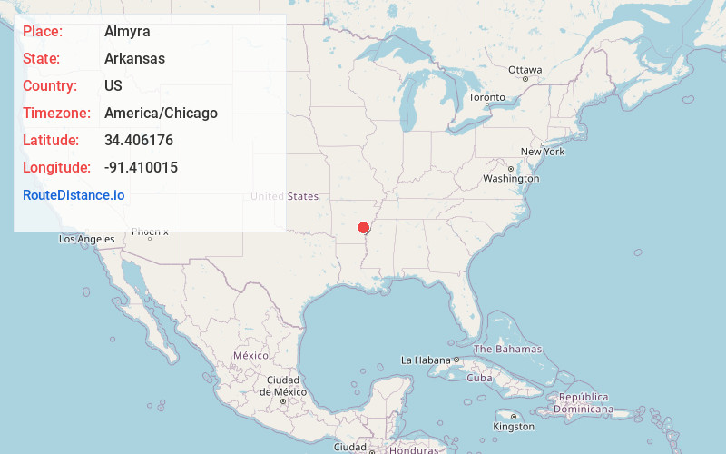
Full AddressAlmyra, AR 72003
-
Coordinates34.4061761, -91.4100147
-
LocationAlmyra , Arkansas , US
-
TimezoneAmerica/Chicago
-
Current Local Time9:15:07 AM America/ChicagoWednesday, June 18, 2025
-
Page Views0
About Almyra
Almyra is a town in Arkansas County, Arkansas, United States. The population was 283 at the 2010 census.
Nearby Places
Found 10 places within 50 miles

DeWitt
8.9 mi
14.3 km
DeWitt, AR 72042
Get directions

Stuttgart
10.4 mi
16.7 km
Stuttgart, AR 72160
Get directions

Ulm
12.1 mi
19.5 km
Ulm, AR 72160
Get directions

St Charles
15.8 mi
25.4 km
St Charles, AR
Get directions

Humphrey
16.9 mi
27.2 km
Humphrey, AR
Get directions

Holly Grove
17.7 mi
28.5 km
Holly Grove, AR 72069
Get directions

Gillett
20.0 mi
32.2 km
Gillett, AR
Get directions

Clarendon
20.6 mi
33.2 km
Clarendon, AR
Get directions
Wabbaseka
22.3 mi
35.9 km
Wabbaseka, AR
Get directions
Altheimer
25.6 mi
41.2 km
Altheimer, AR 72004
Get directions
Location Links
Local Weather
Weather Information
Coming soon!
Location Map
Static map view of Almyra, Arkansas
Browse Places by Distance
Places within specific distances from Almyra
Short Distances
Long Distances
Click any distance to see all places within that range from Almyra. Distances shown in miles (1 mile ≈ 1.61 kilometers).