Distance to Ulm, Arkansas

Calculating Your Route
Just a moment while we process your request...
Location Information
-
Full AddressUlm, AR 72160
-
Coordinates34.5760629, -91.4603931
-
LocationUlm , Arkansas , US
-
TimezoneAmerica/Chicago
-
Current Local Time1:48:31 PM America/ChicagoWednesday, June 18, 2025
-
Page Views0
About Ulm
Ulm is a town in Prairie County, Arkansas, United States. The population was 205 at the 2000 census.
Nearby Places
Found 10 places within 50 miles

Stuttgart
7.9 mi
12.7 km
Stuttgart, AR 72160
Get directions

Clarendon
11.8 mi
19.0 km
Clarendon, AR
Get directions

De Valls Bluff
14.4 mi
23.2 km
De Valls Bluff, AR 72041
Get directions

Holly Grove
14.8 mi
23.8 km
Holly Grove, AR 72069
Get directions

Hazen
15.7 mi
25.3 km
Hazen, AR
Get directions

Biscoe
16.8 mi
27.0 km
Biscoe, AR
Get directions

Humphrey
17.6 mi
28.3 km
Humphrey, AR
Get directions

DeWitt
20.8 mi
33.5 km
DeWitt, AR 72042
Get directions

Carlisle
21.6 mi
34.8 km
Carlisle, AR 72024
Get directions

St Charles
23.2 mi
37.3 km
St Charles, AR
Get directions
Location Links
Local Weather
Weather Information
Coming soon!
Location Map
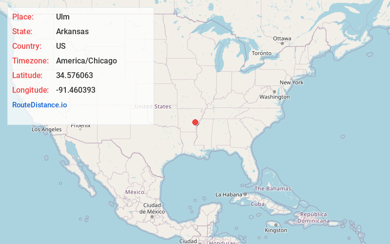
Static map view of Ulm, Arkansas
Browse Places by Distance
Places within specific distances from Ulm
Short Distances
Long Distances
Click any distance to see all places within that range from Ulm. Distances shown in miles (1 mile ≈ 1.61 kilometers).