Distance to Tigerville, South Carolina

Calculating Your Route
Just a moment while we process your request...
Location Information
-
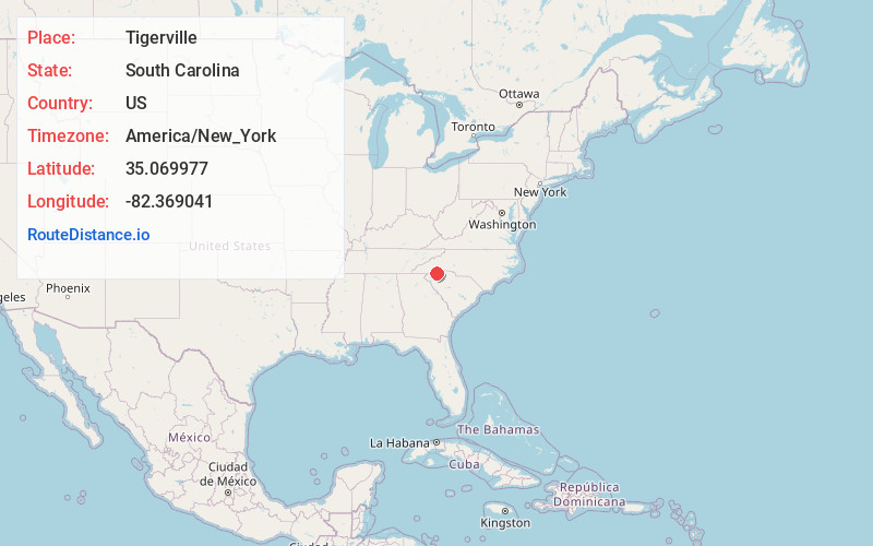
Full AddressTigerville, SC
-
Coordinates35.0699768, -82.3690411
-
LocationTigerville , South Carolina , US
-
TimezoneAmerica/New_York
-
Current Local Time1:10:51 PM America/New_YorkThursday, July 3, 2025
-
Page Views0
About Tigerville
Tigerville is an unincorporated community and census-designated place in Greenville County, South Carolina, United States. As of the 2010 United States Census the population was 1,312. It lies 12 miles north of Taylors, 10 miles northeast of Travelers Rest, and 14 miles northwest of Greer.
Nearby Places
Found 10 places within 50 miles

Slater-Marietta
8.0 mi
12.9 km
Slater-Marietta, SC 29661
Get directions

Travelers Rest
8.2 mi
13.2 km
Travelers Rest, SC
Get directions

Taylors
11.1 mi
17.9 km
Taylors, SC
Get directions

Wade Hampton
11.7 mi
18.8 km
Wade Hampton, SC
Get directions

Greer
12.1 mi
19.5 km
Greer, SC
Get directions

Landrum
12.5 mi
20.1 km
Landrum, SC 29356
Get directions

Sans Souci
13.6 mi
21.9 km
Sans Souci, SC
Get directions

Berea
13.7 mi
22.0 km
Berea, SC
Get directions

Flat Rock
14.5 mi
23.3 km
Flat Rock, NC
Get directions

Greenville
15.4 mi
24.8 km
Greenville, SC
Get directions
Location Links
Local Weather
Weather Information
Coming soon!
Location Map
Static map view of Tigerville, South Carolina
Browse Places by Distance
Places within specific distances from Tigerville
Short Distances
Long Distances
Click any distance to see all places within that range from Tigerville. Distances shown in miles (1 mile ≈ 1.61 kilometers).