Distance to Tilikum Crossing Bridge, Oregon

Calculating Your Route
Just a moment while we process your request...
Location Information
-
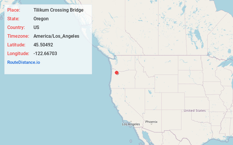
Full AddressTilikum Crossing Bridge, Tilikum Crossing, Portland, OR 97201
-
Coordinates45.5049202, -122.6670299
-
StreetTilikum Crossing
-
NeighborhoodSouth Portland
-
LocationPortland , Oregon , US
-
TimezoneAmerica/Los_Angeles
-
Current Local Time6:37:51 AM America/Los_AngelesThursday, May 22, 2025
-
Page Views0
About Tilikum Crossing Bridge
Fancy cable-stayed bridge opened in 2015, open to pedestrians, cyclists & mass transit only.


Nearby Places
Found 10 places within 50 miles

Portland
0.9 mi
1.4 km
Portland, OR
Get directions

Milwaukie
4.5 mi
7.2 km
Milwaukie, OR
Get directions

Tryon Creek State Natural Area
4.7 mi
7.6 km
Tryon Creek State Natural Area, Portland, OR
Get directions

Dunthorpe
4.8 mi
7.7 km
Dunthorpe, OR
Get directions

Raleigh Hills
4.9 mi
7.9 km
Raleigh Hills, OR
Get directions

West Haven-Sylvan
4.9 mi
7.9 km
West Haven-Sylvan, OR
Get directions
West Slope
5.3 mi
8.5 km
West Slope, OR
Get directions

Lake Oswego
5.9 mi
9.5 km
Lake Oswego, OR
Get directions

Maywood Park
6.1 mi
9.8 km
Maywood Park, OR 97220
Get directions

Oak Grove
6.2 mi
10.0 km
Oak Grove, OR
Get directions
Location Links
Local Weather
Weather Information
Coming soon!
Location Map
Static map view of Tilikum Crossing Bridge, Oregon
Browse Places by Distance
Places within specific distances from Tilikum Crossing Bridge
Short Distances
Long Distances
Click any distance to see all places within that range from Tilikum Crossing Bridge. Distances shown in miles (1 mile ≈ 1.61 kilometers).