Distance to Toler, Kentucky

Calculating Your Route
Just a moment while we process your request...
Location Information
-
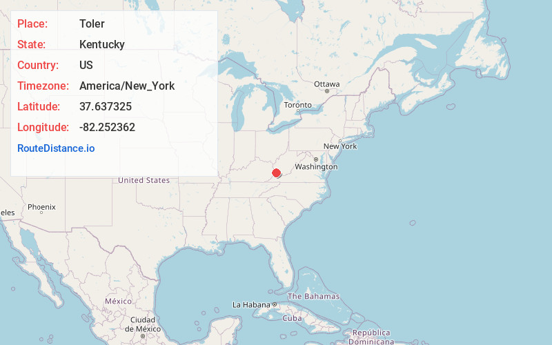
Full AddressToler, KY 41514
-
Coordinates37.6373247, -82.252362
-
LocationToler , Kentucky , US
-
TimezoneAmerica/New_York
-
Current Local Time2:27:16 PM America/New_YorkSaturday, May 31, 2025
-
Page Views0
About Toler
Toler is an unincorporated community and coal town in Pike County, Kentucky, United States. Their post office closed in 1965.


Nearby Places
Found 10 places within 50 miles

Belfry
1.5 mi
2.4 km
Belfry, KY 41514
Get directions

Burnwell
1.7 mi
2.7 km
Burnwell, KY 41514
Get directions
Leckieville
1.9 mi
3.1 km
Leckieville, KY 41514
Get directions
Goody
2.0 mi
3.2 km
Goody, KY 41514
Get directions
Rawl
2.0 mi
3.2 km
Rawl, WV 25661
Get directions
Merrimac
2.0 mi
3.2 km
Merrimac, WV 25661
Get directions
Sharondale
2.1 mi
3.4 km
Sharondale, KY 41535
Get directions

Williamson
2.9 mi
4.7 km
Williamson, WV 25661
Get directions
Sprigg
3.1 mi
5.0 km
Sprigg, WV 25661
Get directions
Cinderella
3.4 mi
5.5 km
Cinderella, WV 25661
Get directions
Location Links
Local Weather
Weather Information
Coming soon!
Location Map
Static map view of Toler, Kentucky
Browse Places by Distance
Places within specific distances from Toler
Short Distances
Long Distances
Click any distance to see all places within that range from Toler. Distances shown in miles (1 mile ≈ 1.61 kilometers).