Distance to Topliff, Utah

Calculating Your Route
Just a moment while we process your request...
Location Information
-
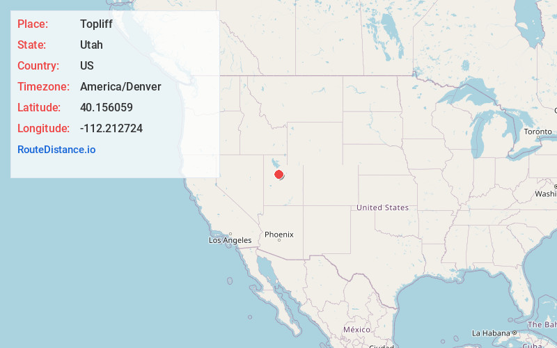
Full AddressTopliff, UT
-
Coordinates40.1560587, -112.2127237
-
LocationUtah , US
-
TimezoneAmerica/Denver
-
Current Local Time4:41:19 PM America/DenverFriday, June 20, 2025
-
Page Views0
Nearby Places
Found 10 places within 50 miles

Fairfield
9.7 mi
15.6 km
Fairfield, UT 84013
Get directions

West Mercur
11.5 mi
18.5 km
West Mercur, UT
Get directions

Vernon
12.5 mi
20.1 km
Vernon, UT 84080
Get directions

Cedar Fort
13.2 mi
21.2 km
Cedar Fort, UT 84013
Get directions
Homansville
14.2 mi
22.9 km
Homansville, UT 84628
Get directions

Eureka
14.8 mi
23.8 km
Eureka, UT 84628
Get directions

Ophir
14.9 mi
24.0 km
Ophir, UT
Get directions

Eagle Mountain
15.4 mi
24.8 km
Eagle Mountain, UT
Get directions

Silver City Cemetery
18.0 mi
29.0 km
Silver City Cemetery, Eureka, UT 84628
Get directions

Rush Valley
19.0 mi
30.6 km
Rush Valley, UT
Get directions
Location Links
Local Weather
Weather Information
Coming soon!
Location Map
Static map view of Topliff, Utah
Browse Places by Distance
Places within specific distances from Topliff
Short Distances
Long Distances
Click any distance to see all places within that range from Topliff. Distances shown in miles (1 mile ≈ 1.61 kilometers).