Distance to and from Torchlight, Kentucky
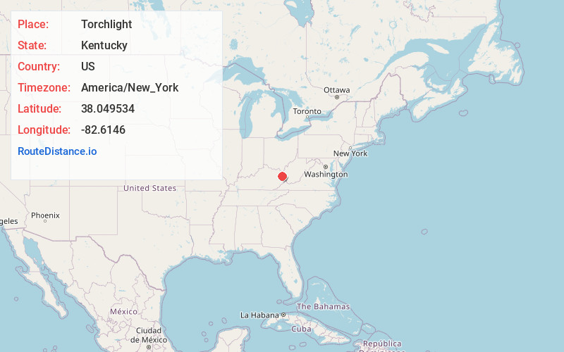
Torchlight, KY 41230
Kentucky
US
America/New_York
Location Information
-
Full AddressTorchlight, KY 41230
-
Coordinates38.0495339, -82.6146003
-
LocationKentucky , US
-
TimezoneAmerica/New_York
-
Current Local Time10:25:03 PM America/New_YorkSunday, May 4, 2025
-
Page Views0
Directions to Nearest Cities
About Torchlight
Torchlight is an unincorporated community and coal town in Lawrence County, Kentucky, United States. The community is named for an annual torchlight parade accident which resulted in the Hotel Greenup being burned to the ground.
Nearby Places
Found 10 places within 50 miles

Chapman
1.9 mi
3.1 km
Chapman, KY 41230
Get directions
Walbridge
2.0 mi
3.2 km
Walbridge, KY 41230
Get directions
Gallup
2.6 mi
4.2 km
Gallup, KY 41230
Get directions
Smoky Valley
2.9 mi
4.7 km
Smoky Valley, KY 41230
Get directions
Saltpetre
4.3 mi
6.9 km
Saltpetre, WV 25514
Get directions

Louisa
4.5 mi
7.2 km
Louisa, KY 41230
Get directions

Fort Gay
4.7 mi
7.6 km
Fort Gay, WV 25514
Get directions
Adams
5.1 mi
8.2 km
Adams, KY 41201
Get directions
Ledocio
5.6 mi
9.0 km
Ledocio, KY 41230
Get directions
Glenhayes
5.6 mi
9.0 km
Glenhayes, WV 25514
Get directions
Chapman
1.9 mi
3.1 km
Chapman, KY 41230
Walbridge
2.0 mi
3.2 km
Walbridge, KY 41230
Gallup
2.6 mi
4.2 km
Gallup, KY 41230
Smoky Valley
2.9 mi
4.7 km
Smoky Valley, KY 41230
Saltpetre
4.3 mi
6.9 km
Saltpetre, WV 25514
Louisa
4.5 mi
7.2 km
Louisa, KY 41230
Fort Gay
4.7 mi
7.6 km
Fort Gay, WV 25514
Adams
5.1 mi
8.2 km
Adams, KY 41201
Ledocio
5.6 mi
9.0 km
Ledocio, KY 41230
Glenhayes
5.6 mi
9.0 km
Glenhayes, WV 25514
Location Links
Local Weather
Weather Information
Coming soon!
Location Map
Static map view of Torchlight, Kentucky
Browse Places by Distance
Places within specific distances from Torchlight
Short Distances
Long Distances
Click any distance to see all places within that range from Torchlight. Distances shown in miles (1 mile ≈ 1.61 kilometers).