Distance to Trail City, South Dakota

Calculating Your Route
Just a moment while we process your request...
Location Information
-
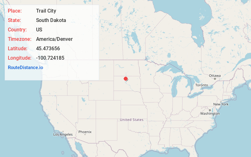
Full AddressTrail City, SD 57657
-
Coordinates45.4736555, -100.7241847
-
LocationTrail City , South Dakota , US
-
TimezoneAmerica/Denver
-
Current Local Time10:19:40 AM America/DenverTuesday, June 3, 2025
-
Page Views0
About Trail City
Trail City is an unincorporated community straddling Dewey County, South Dakota and Corson County, South Dakota, United States. Although not tracked by the Census Bureau, Trail City has been assigned the ZIP code of 57657.
Nearby Places
Found 10 places within 50 miles

Little Eagle
14.7 mi
23.7 km
Little Eagle, SD 57639
Get directions

Mobridge
15.0 mi
24.1 km
Mobridge, SD 57601
Get directions
Wakpala
15.6 mi
25.1 km
Wakpala, SD 57658
Get directions
Whitehorse
16.1 mi
25.9 km
Whitehorse, SD
Get directions

Timber Lake
17.2 mi
27.7 km
Timber Lake, SD 57656
Get directions
Mahto
19.8 mi
31.9 km
Mahto, SD 57642
Get directions
Glenham
22.3 mi
35.9 km
Glenham, SD 57631
Get directions
La Plant
23.0 mi
37.0 km
La Plant, SD
Get directions

McLaughlin
23.9 mi
38.5 km
McLaughlin, SD 57642
Get directions
Sitka
26.2 mi
42.2 km
Sitka, SD 57472
Get directions
Location Links
Local Weather
Weather Information
Coming soon!
Location Map
Static map view of Trail City, South Dakota
Browse Places by Distance
Places within specific distances from Trail City
Short Distances
Long Distances
Click any distance to see all places within that range from Trail City. Distances shown in miles (1 mile ≈ 1.61 kilometers).