Distance to Mahto, South Dakota
Location Information
-
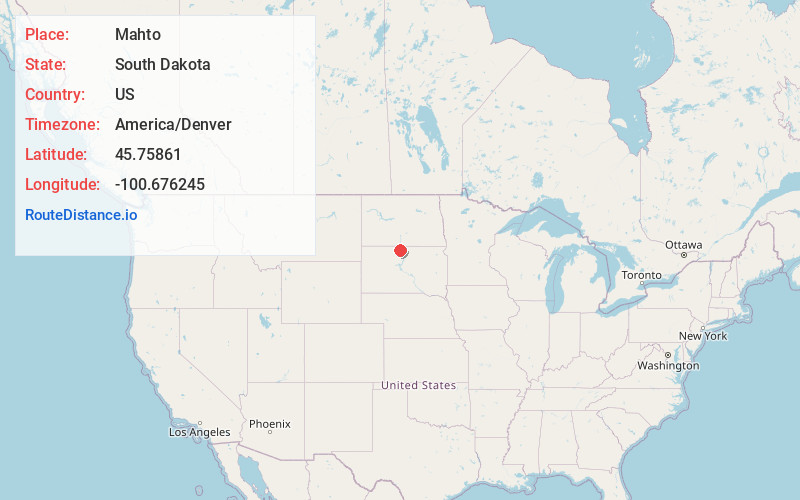
Full AddressMahto, SD 57642
-
Coordinates45.7586097, -100.676245
-
LocationMahto , South Dakota , US
-
TimezoneAmerica/Denver
-
Current Local Time1:35:14 PM America/DenverFriday, May 16, 2025
-
Page Views0
About Mahto
Mahto is an unincorporated community in Corson County, in the U.S. state of South Dakota.
Nearby Places
Found 10 places within 50 miles

McLaughlin
7.5 mi
12.1 km
McLaughlin, SD 57642
Get directions

Little Eagle
7.8 mi
12.6 km
Little Eagle, SD 57639
Get directions
Wakpala
9.7 mi
15.6 km
Wakpala, SD 57658
Get directions
Kenel
12.5 mi
20.1 km
Kenel, SD
Get directions

Mobridge
19.4 mi
31.2 km
Mobridge, SD 57601
Get directions

Bullhead
19.5 mi
31.4 km
Bullhead, SD 57621
Get directions

Pollock
21.1 mi
34.0 km
Pollock, SD 57648
Get directions

Fort Yates
22.8 mi
36.7 km
Fort Yates, ND 58538
Get directions

Selfridge
22.9 mi
36.9 km
Selfridge, ND
Get directions
Glenham
25.0 mi
40.2 km
Glenham, SD 57631
Get directions
Location Links
Local Weather
Weather Information
Coming soon!
Location Map
Static map view of Mahto, South Dakota
Browse Places by Distance
Places within specific distances from Mahto
Short Distances
Long Distances
Click any distance to see all places within that range from Mahto. Distances shown in miles (1 mile ≈ 1.61 kilometers).