Distance to Glenham, South Dakota

Calculating Your Route
Just a moment while we process your request...
Location Information
-
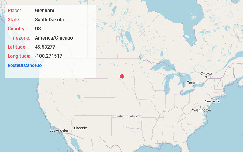
Full AddressGlenham, SD 57631
-
Coordinates45.5327703, -100.2715173
-
LocationGlenham , South Dakota , US
-
TimezoneAmerica/Chicago
-
Current Local Time2:00:51 PM America/ChicagoWednesday, May 28, 2025
-
Page Views0
About Glenham
Glenham is a town in Walworth County, South Dakota, United States. The population was 112 at the 2020 census.
Glenham was laid out in 1900, and named for a glen near the town site.
Nearby Places
Found 10 places within 50 miles

Mobridge
7.6 mi
12.2 km
Mobridge, SD 57601
Get directions

Selby
11.7 mi
18.8 km
Selby, SD 57472
Get directions

Wakpala
15.4 mi
24.8 km
Wakpala, SD 57658
Get directions

Java
18.8 mi
30.3 km
Java, SD 57452
Get directions

Herreid
23.0 mi
37.0 km
Herreid, SD 57632
Get directions
Kenel
24.3 mi
39.1 km
Kenel, SD
Get directions

Pollock
25.5 mi
41.0 km
Pollock, SD 57648
Get directions
Little Eagle
27.3 mi
43.9 km
Little Eagle, SD 57639
Get directions

Bowdle
30.4 mi
48.9 km
Bowdle, SD 57428
Get directions

Hoven
31.2 mi
50.2 km
Hoven, SD 57450
Get directions
Location Links
Local Weather
Weather Information
Coming soon!
Location Map
Static map view of Glenham, South Dakota
Browse Places by Distance
Places within specific distances from Glenham
Short Distances
Long Distances
Click any distance to see all places within that range from Glenham. Distances shown in miles (1 mile ≈ 1.61 kilometers).