Distance to Java, South Dakota

Calculating Your Route
Just a moment while we process your request...
Location Information
-
Full AddressJava, SD 57452
-
Coordinates45.5033204, -99.8865083
-
LocationJava , South Dakota , US
-
TimezoneAmerica/Chicago
-
Current Local Time12:27:21 AM America/ChicagoMonday, June 30, 2025
-
Page Views0
About Java
Java is a town in Walworth County, South Dakota, United States. The population was 121 at the 2020 census.
Java derives its name from Java coffee, and Coffee Town was an early variant name.


Nearby Places
Found 10 places within 50 miles

Selby
7.1 mi
11.4 km
Selby, SD 57472
Get directions

Bowdle
11.8 mi
19.0 km
Bowdle, SD 57428
Get directions

Hoven
18.7 mi
30.1 km
Hoven, SD 57450
Get directions

Hosmer
20.6 mi
33.2 km
Hosmer, SD 57448
Get directions

Eureka
22.5 mi
36.2 km
Eureka, SD 57437
Get directions

Herreid
24.5 mi
39.4 km
Herreid, SD 57632
Get directions

Mobridge
26.3 mi
42.3 km
Mobridge, SD 57601
Get directions
Roscoe
26.8 mi
43.1 km
Roscoe, SD 57471
Get directions
Wakpala
33.2 mi
53.4 km
Wakpala, SD 57658
Get directions

Pollock
33.7 mi
54.2 km
Pollock, SD 57648
Get directions
Location Links
Local Weather
Weather Information
Coming soon!
Location Map
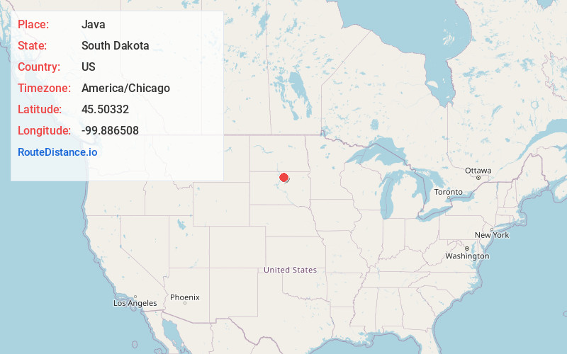
Static map view of Java, South Dakota
Browse Places by Distance
Places within specific distances from Java
Short Distances
Long Distances
Click any distance to see all places within that range from Java. Distances shown in miles (1 mile ≈ 1.61 kilometers).