Distance to Troy, Virginia

Calculating Your Route
Just a moment while we process your request...
Location Information
-
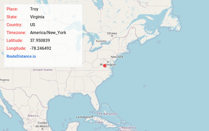
Full AddressTroy, VA 22974
-
Coordinates37.9508391, -78.2464921
-
LocationTroy , Virginia , US
-
TimezoneAmerica/New_York
-
Current Local Time10:19:44 AM America/New_YorkSaturday, May 31, 2025
-
Page Views0
About Troy
Troy is an unincorporated community in Fluvanna County, Virginia, United States. It lies just west of U.S. Route 15, between Zion Crossroads to the north and the county seat of Palmyra to the south. Troy's existence was defined by the Virginia Air Line Railway, which operated from 1908 to 1975.

Nearby Places
Found 10 places within 50 miles

Zion Crossroads
2.0 mi
3.2 km
Zion Crossroads, VA 22942
Get directions
Paynes Mill
2.3 mi
3.7 km
Paynes Mill, VA 22974
Get directions
Bybee
2.8 mi
4.5 km
Bybee, VA 22963
Get directions
Wildwood
3.3 mi
5.3 km
Wildwood, VA 22963
Get directions
Zion
3.3 mi
5.3 km
Zion, VA 22942
Get directions

Lake Monticello
5.0 mi
8.0 km
Lake Monticello, VA 22963
Get directions
Rugby
6.2 mi
10.0 km
Rugby, VA 22947
Get directions
Nahor
6.3 mi
10.1 km
Nahor, VA 22963
Get directions

Palmyra
6.3 mi
10.1 km
Palmyra, VA 22963
Get directions
Campbell
6.4 mi
10.3 km
Campbell, VA 22947
Get directions
Location Links
Local Weather
Weather Information
Coming soon!
Location Map
Static map view of Troy, Virginia
Browse Places by Distance
Places within specific distances from Troy
Short Distances
Long Distances
Click any distance to see all places within that range from Troy. Distances shown in miles (1 mile ≈ 1.61 kilometers).