Distance to Trumbull, Connecticut

Calculating Your Route
Just a moment while we process your request...
Location Information
-
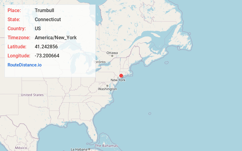
Full AddressTrumbull, CT 06611
-
Coordinates41.2428563, -73.2006639
-
LocationTrumbull , Connecticut , US
-
TimezoneAmerica/New_York
-
Current Local Time7:55:35 AM America/New_YorkSaturday, May 31, 2025
-
Website
-
Page Views0
About Trumbull
Trumbull is a town located in Fairfield County, Connecticut, United States. The town is part of the Greater Bridgeport Planning Region, and borders on the cities of Bridgeport and Shelton, as well as the towns of Stratford, Fairfield, Easton and Monroe. The population was 36,827 during the 2020 census.


Nearby Places
Found 10 places within 50 miles

Nichols
2.1 mi
3.4 km
Nichols, Trumbull, CT 06611
Get directions
Stratfield
3.1 mi
5.0 km
Stratfield, Fairfield, CT 06825
Get directions
Melville Village
4.0 mi
6.4 km
Melville Village, Fairfield, CT 06825
Get directions

Bridgeport
4.4 mi
7.1 km
Bridgeport, CT
Get directions
Putney
4.6 mi
7.4 km
Putney, Stratford, CT 06614
Get directions

Milford
7.1 mi
11.4 km
Milford, CT
Get directions

Shelton
7.6 mi
12.2 km
Shelton, CT 06484
Get directions

Fort Trumbull Beach
7.9 mi
12.7 km
Fort Trumbull Beach, Milford, CT 06460
Get directions

Derby
7.9 mi
12.7 km
Derby, CT
Get directions
Hattertown
8.8 mi
14.2 km
Hattertown, Newtown, CT 06470
Get directions
Location Links
Local Weather
Weather Information
Coming soon!
Location Map
Static map view of Trumbull, Connecticut
Browse Places by Distance
Places within specific distances from Trumbull
Short Distances
Long Distances
Click any distance to see all places within that range from Trumbull. Distances shown in miles (1 mile ≈ 1.61 kilometers).