Distance to Tugtown, South Carolina

Calculating Your Route
Just a moment while we process your request...
Location Information
-
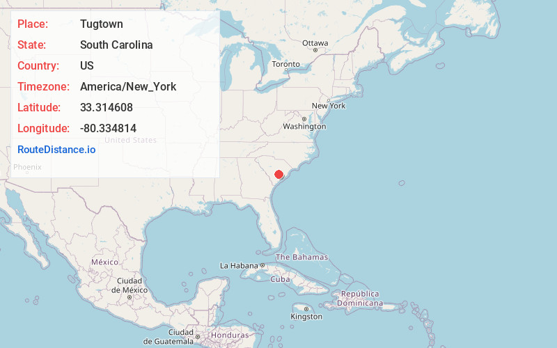
Full AddressTugtown, SC 29059
-
Coordinates33.3146075, -80.3348139
-
LocationSouth Carolina , US
-
TimezoneAmerica/New_York
-
Current Local Time5:28:26 PM America/New_YorkThursday, June 19, 2025
-
Page Views0
Nearby Places
Found 10 places within 50 miles

Sandridge
4.2 mi
6.8 km
Sandridge, SC 29059
Get directions

Holly Hill
4.6 mi
7.4 km
Holly Hill, SC 29059
Get directions

Bowyer
5.0 mi
8.0 km
Bowyer, SC 29059
Get directions

Eutawville
5.6 mi
9.0 km
Eutawville, SC 29048
Get directions
Four Holes
6.2 mi
10.0 km
Four Holes, SC 29059
Get directions
Eutaw Springs
6.7 mi
10.8 km
Eutaw Springs, SC 29048
Get directions
Giant
8.3 mi
13.4 km
Giant, SC 29448
Get directions
Prioleau
8.7 mi
14.0 km
Prioleau, SC 29436
Get directions
Wells
9.3 mi
15.0 km
Wells, SC 29059
Get directions

Harleyville
9.5 mi
15.3 km
Harleyville, SC 29448
Get directions
Location Links
Local Weather
Weather Information
Coming soon!
Location Map
Static map view of Tugtown, South Carolina
Browse Places by Distance
Places within specific distances from Tugtown
Short Distances
Long Distances
Click any distance to see all places within that range from Tugtown. Distances shown in miles (1 mile ≈ 1.61 kilometers).