Distance to Turkey, Kentucky

Calculating Your Route
Just a moment while we process your request...
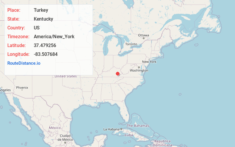
Location Information
-
Full AddressTurkey, KY 41314
-
Coordinates37.4792559, -83.5076844
-
LocationTurkey , Kentucky , US
-
TimezoneAmerica/New_York
-
Current Local Time11:03:05 AM America/New_YorkSunday, June 1, 2025
-
Page Views0
About Turkey
Turkey is an unincorporated community in Breathitt County, Kentucky. It is located on Kentucky Route 30, between the communities of Lerose and Shoulderblade.
Turkey lies on Terry Fork, a tributary to Turkey Creek, which is itself a tributary to the Middle Fork Kentucky River.
Nearby Places
Found 10 places within 50 miles

Guerrant
2.0 mi
3.2 km
Guerrant, KY 41339
Get directions
Jetts Creek
2.5 mi
4.0 km
Jetts Creek, KY 41314
Get directions
Copebranch
2.8 mi
4.5 km
Copebranch, KY 41339
Get directions

Canoe
3.9 mi
6.3 km
Canoe, KY 41339
Get directions
Chenowee
4.7 mi
7.6 km
Chenowee, KY 41339
Get directions
Oakdale
5.3 mi
8.5 km
Oakdale, KY 41339
Get directions
Lone
6.3 mi
10.1 km
Lone, KY 41311
Get directions
Elkatawa
7.0 mi
11.3 km
Elkatawa, KY 41339
Get directions
Canyon Falls
7.7 mi
12.4 km
Canyon Falls, KY 41311
Get directions
Stay
8.2 mi
13.2 km
Stay, KY 41311
Get directions
Location Links
Local Weather
Weather Information
Coming soon!
Location Map
Static map view of Turkey, Kentucky
Browse Places by Distance
Places within specific distances from Turkey
Short Distances
Long Distances
Click any distance to see all places within that range from Turkey. Distances shown in miles (1 mile ≈ 1.61 kilometers).