Distance to Tuthill, South Dakota

Calculating Your Route
Just a moment while we process your request...
Location Information
-
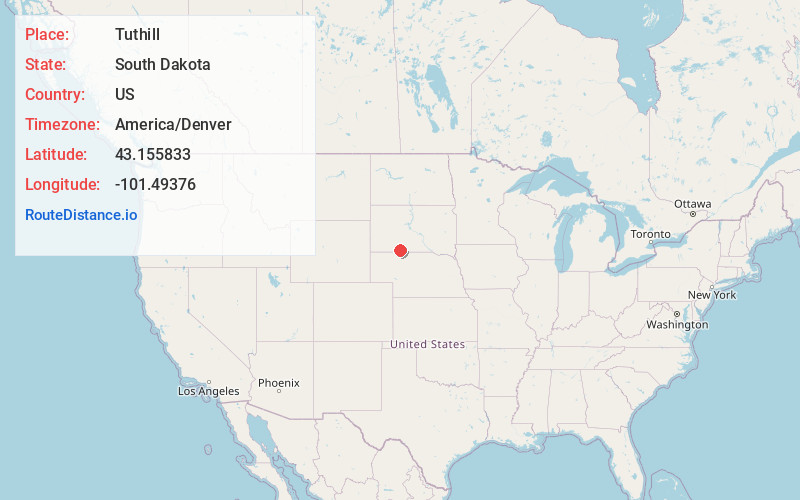
Full AddressTuthill, SD 57551
-
Coordinates43.1558331, -101.4937604
-
LocationTuthill , South Dakota , US
-
TimezoneAmerica/Denver
-
Current Local Time1:32:15 AM America/DenverTuesday, June 3, 2025
-
Page Views0
About Tuthill
Tuthill is an unincorporated community in Bennett County, South Dakota, United States. Tuthill has been assigned the ZIP code of 57574.
Tuthill was laid out in 1920 by J. B. Tuthill, and named for him.
Nearby Places
Found 10 places within 50 miles

Martin
12.1 mi
19.5 km
Martin, SD 57551
Get directions

Harrington
12.1 mi
19.5 km
Harrington, East Bennett, SD 57572
Get directions

Eli
14.7 mi
23.7 km
Eli, NE 69211
Get directions
Blackpipe
17.0 mi
27.4 km
Blackpipe, SD 57560
Get directions

Merriman
19.4 mi
31.2 km
Merriman, NE 69218
Get directions
Cody
19.7 mi
31.7 km
Cody, NE 69211
Get directions

Long Valley
21.2 mi
34.1 km
Long Valley, SD 57547
Get directions
Swett
23.0 mi
37.0 km
Swett, SD 57551
Get directions

Allen
23.3 mi
37.5 km
Allen, SD 57714
Get directions
Leat
24.5 mi
39.4 km
Leat, Merriman Precinct, NE 69218
Get directions
Location Links
Local Weather
Weather Information
Coming soon!
Location Map
Static map view of Tuthill, South Dakota
Browse Places by Distance
Places within specific distances from Tuthill
Short Distances
Long Distances
Click any distance to see all places within that range from Tuthill. Distances shown in miles (1 mile ≈ 1.61 kilometers).