Distance to Union Creek, Oregon

Calculating Your Route
Just a moment while we process your request...
Location Information
-
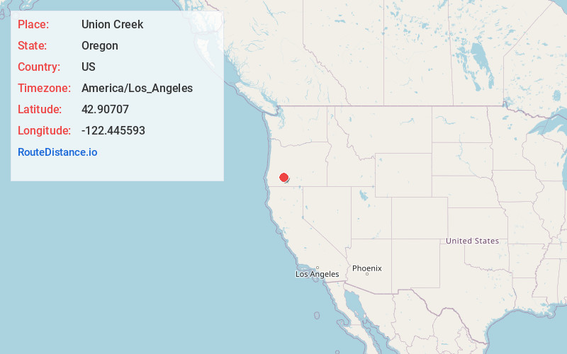
Full AddressUnion Creek, OR 97536
-
Coordinates42.9070697, -122.4455928
-
LocationUnion Creek , Oregon , US
-
TimezoneAmerica/Los_Angeles
-
Current Local Time1:24:01 PM America/Los_AngelesWednesday, June 18, 2025
-
Page Views0
About Union Creek
Union Creek is an unincorporated community in Jackson County in the U.S. state of Oregon. It is located along Union Creek and Oregon Route 62, about 15 miles from Crater Lake National Park.


Nearby Places
Found 10 places within 50 miles

Prospect
10.8 mi
17.4 km
Prospect, OR 97536
Get directions

Trail
25.8 mi
41.5 km
Trail, OR
Get directions

Butte Falls
25.9 mi
41.7 km
Butte Falls, OR
Get directions

Fort Klamath
26.8 mi
43.1 km
Fort Klamath, OR
Get directions

Shady Cove
27.4 mi
44.1 km
Shady Cove, OR 97539
Get directions

Potter Mountain
32.1 mi
51.7 km
Potter Mountain, Oregon 97447
Get directions

Rocky Point
34.6 mi
55.7 km
Rocky Point, OR 97601
Get directions

Lakecreek
34.7 mi
55.8 km
Lakecreek, OR 97524
Get directions

Eagle Point
35.1 mi
56.5 km
Eagle Point, OR 97524
Get directions

Beaver Marsh
36.1 mi
58.1 km
Beaver Marsh, OR 97731
Get directions
Location Links
Local Weather
Weather Information
Coming soon!
Location Map
Static map view of Union Creek, Oregon
Browse Places by Distance
Places within specific distances from Union Creek
Short Distances
Long Distances
Click any distance to see all places within that range from Union Creek. Distances shown in miles (1 mile ≈ 1.61 kilometers).