Distance to Beaver Marsh, Oregon

Calculating Your Route
Just a moment while we process your request...
Location Information
-
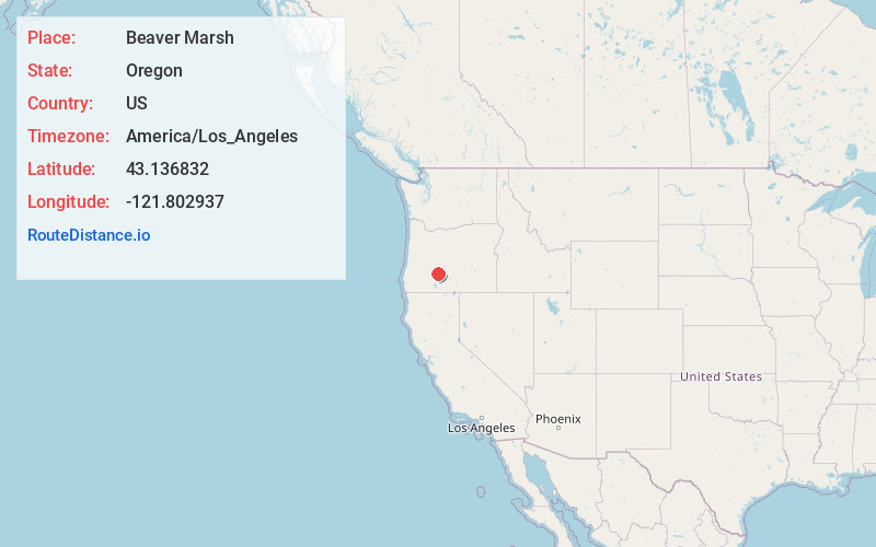
Full AddressBeaver Marsh, OR 97731
-
Coordinates43.1368317, -121.802937
-
LocationBeaver Marsh , Oregon , US
-
TimezoneAmerica/Los_Angeles
-
Current Local Time2:08:02 PM America/Los_AngelesWednesday, June 18, 2025
-
Page Views0
About Beaver Marsh
Beaver Marsh is an unincorporated community in Klamath County, Oregon, United States. It is located on U.S. Route 97, about 6 miles south of Chemult. The Southern Pacific Cascade Line passes near the locale.
Beaver Marsh was an important stagecoach stop on the Oregon Central Military Wagon Road.


Nearby Places
Found 7 places within 50 miles

Crescent
23.1 mi
37.2 km
Crescent, OR 97733
Get directions

Gilchrist
24.2 mi
38.9 km
Gilchrist, OR 97733
Get directions

Silver Lake
38.1 mi
61.3 km
Silver Lake, OR 97638
Get directions

Chiloquin
38.8 mi
62.4 km
Chiloquin, OR 97624
Get directions

La Pine
39.8 mi
64.1 km
La Pine, OR 97739
Get directions

Prospect
43.6 mi
70.2 km
Prospect, OR 97536
Get directions

Rocky Point
47.5 mi
76.4 km
Rocky Point, OR 97601
Get directions
Location Links
Local Weather
Weather Information
Coming soon!
Location Map
Static map view of Beaver Marsh, Oregon
Browse Places by Distance
Places within specific distances from Beaver Marsh
Short Distances
Long Distances
Click any distance to see all places within that range from Beaver Marsh. Distances shown in miles (1 mile ≈ 1.61 kilometers).