Distance to Union Mills, North Carolina

Calculating Your Route
Just a moment while we process your request...
Location Information
-
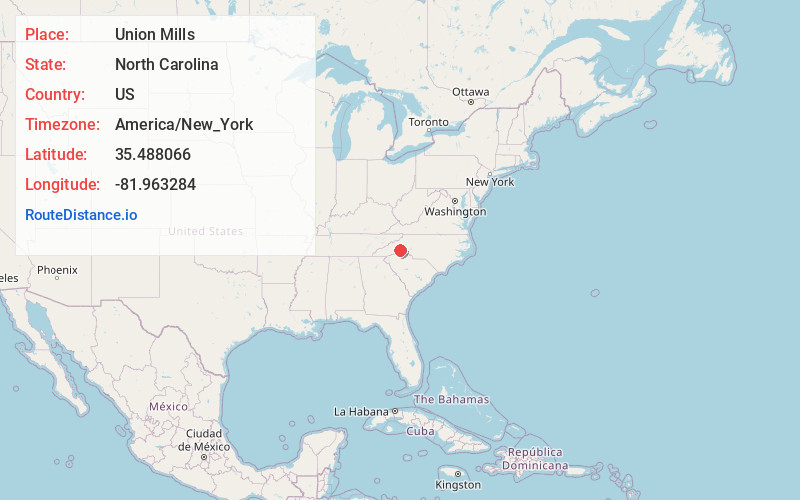
Full AddressUnion Mills, NC 28167
-
Coordinates35.4880663, -81.9632842
-
LocationUnion Mills , North Carolina , US
-
TimezoneAmerica/New_York
-
Current Local Time5:40:55 PM America/New_YorkTuesday, June 17, 2025
-
Page Views0
About Union Mills
Union Mills is an unincorporated community in Rutherford County, North Carolina, United States. The community is located along Hudlow Road, east of U.S. Route 221 and 8.2 miles north of Rutherfordton. Union Mills has a post office with ZIP code 28167.


Nearby Places
Found 10 places within 50 miles

Thermal City
2.3 mi
3.7 km
Thermal City, NC 28167
Get directions

Gilkey
3.2 mi
5.1 km
Gilkey, NC 28139
Get directions
Green Hill
7.1 mi
11.4 km
Green Hill, NC 28139
Get directions

Ruth
7.4 mi
11.9 km
Ruth, NC 28139
Get directions

Rutherfordton
8.2 mi
13.2 km
Rutherfordton, NC 28139
Get directions

Glenwood
8.8 mi
14.2 km
Glenwood, NC 28752
Get directions

Spindale
9.0 mi
14.5 km
Spindale, NC
Get directions
Washburn
10.5 mi
16.9 km
Washburn, NC 28018
Get directions

Bostic
11.3 mi
18.2 km
Bostic, NC 28018
Get directions

West Marion
11.5 mi
18.5 km
West Marion, NC 28752
Get directions
Location Links
Local Weather
Weather Information
Coming soon!
Location Map
Static map view of Union Mills, North Carolina
Browse Places by Distance
Places within specific distances from Union Mills
Short Distances
Long Distances
Click any distance to see all places within that range from Union Mills. Distances shown in miles (1 mile ≈ 1.61 kilometers).