Distance to and from Washburn, North Carolina
Washburn, NC 28018
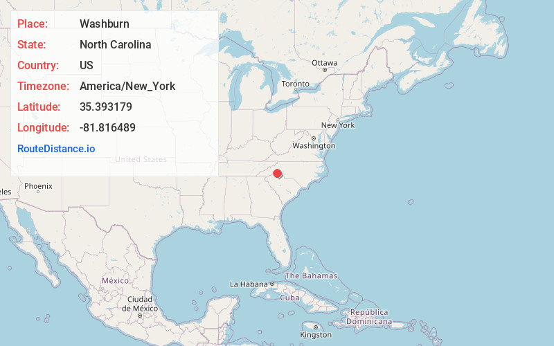
North Carolina
US
America/New_York
Location Information
-
Full AddressWashburn, NC 28018
-
Coordinates35.3931794, -81.8164894
-
LocationNorth Carolina , US
-
TimezoneAmerica/New_York
-
Current Local Time3:23:26 PM America/New_YorkSaturday, May 3, 2025
-
Page Views0
Directions to Nearest Cities
Nearby Places
Found 10 places within 50 miles

Bostic
2.4 mi
3.9 km
Bostic, NC 28018
Get directions

Forest City
4.9 mi
7.9 km
Forest City, NC 28043
Get directions

Ellenboro
5.5 mi
8.9 km
Ellenboro, NC 28040
Get directions

Spindale
6.8 mi
10.9 km
Spindale, NC
Get directions

Ruth
7.4 mi
11.9 km
Ruth, NC 28139
Get directions

Caroleen
7.8 mi
12.6 km
Caroleen, NC
Get directions

Rutherfordton
8.1 mi
13.0 km
Rutherfordton, NC 28139
Get directions

Mooresboro
9.3 mi
15.0 km
Mooresboro, NC
Get directions
Henrietta
9.4 mi
15.1 km
Henrietta, NC
Get directions

Polkville
9.9 mi
15.9 km
Polkville, NC
Get directions
Bostic
2.4 mi
3.9 km
Bostic, NC 28018
Forest City
4.9 mi
7.9 km
Forest City, NC 28043
Ellenboro
5.5 mi
8.9 km
Ellenboro, NC 28040
Spindale
6.8 mi
10.9 km
Spindale, NC
Ruth
7.4 mi
11.9 km
Ruth, NC 28139
Caroleen
7.8 mi
12.6 km
Caroleen, NC
Rutherfordton
8.1 mi
13.0 km
Rutherfordton, NC 28139
Mooresboro
9.3 mi
15.0 km
Mooresboro, NC
Henrietta
9.4 mi
15.1 km
Henrietta, NC
Polkville
9.9 mi
15.9 km
Polkville, NC
Location Links
Local Weather
Weather Information
Coming soon!
Location Map
Static map view of Washburn, North Carolina
Browse Places by Distance
Places within specific distances from Washburn
Short Distances
Long Distances
Click any distance to see all places within that range from Washburn. Distances shown in miles (1 mile ≈ 1.61 kilometers).