Distance to Upola, Kansas

Calculating Your Route
Just a moment while we process your request...
Location Information
-
Full AddressUpola, Oak Valley Township, KS 67352
-
Coordinates37.4167143, -95.998595
-
LocationOak Valley Township , Kansas , US
-
TimezoneAmerica/Chicago
-
Current Local Time11:16:04 PM America/ChicagoThursday, June 5, 2025
-
Page Views0
About Upola
Upola is a ghost town in Elk County, Kansas, United States.
Nearby Places
Found 10 places within 50 miles

Busby
4.4 mi
7.1 km
Busby, Painterhood Township, KS 67352
Get directions
Buxton
4.8 mi
7.7 km
Buxton, KS 66736
Get directions
Oak Valley
5.1 mi
8.2 km
Oak Valley, KS 67344
Get directions
Longton
5.3 mi
8.5 km
Longton, KS 67352
Get directions
Lafontaine
8.5 mi
13.7 km
Lafontaine, KS 66736
Get directions

Elk City
10.0 mi
16.1 km
Elk City, KS 67344
Get directions
Cave Springs
10.5 mi
16.9 km
Cave Springs, Liberty Township, KS 67349
Get directions

Elk Falls
11.0 mi
17.7 km
Elk Falls, KS 67345
Get directions

New Albany
11.0 mi
17.7 km
New Albany, KS 66736
Get directions

South Mound
12.1 mi
19.5 km
South Mound, Fredonia, KS 66736
Get directions
Location Links
Local Weather
Weather Information
Coming soon!
Location Map
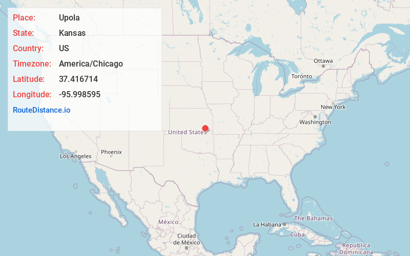
Static map view of Upola, Kansas
Browse Places by Distance
Places within specific distances from Upola
Short Distances
Long Distances
Click any distance to see all places within that range from Upola. Distances shown in miles (1 mile ≈ 1.61 kilometers).