Distance to Upper Lawn, Pennsylvania

Calculating Your Route
Just a moment while we process your request...
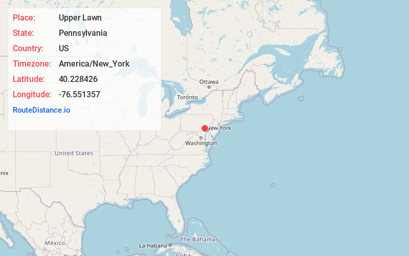
Location Information
-
Full AddressUpper Lawn, PA 17078
-
Coordinates40.2284261, -76.5513571
-
LocationUpper Lawn , Pennsylvania , US
-
TimezoneAmerica/New_York
-
Current Local Time1:34:56 AM America/New_YorkThursday, June 19, 2025
-
Page Views0
About Upper Lawn
Upper Lawn is an unincorporated community in South Londonderry Township in Lebanon County, Pennsylvania, United States. Upper Lawn is located at the intersection of Pennsylvania Route 341, Lawn Road, and Gingrich Road.
Nearby Places
Found 10 places within 50 miles

South Londonderry Township
1.1 mi
1.8 km
South Londonderry Township, PA
Get directions

Colebrook
2.2 mi
3.5 km
Colebrook, PA 17042
Get directions
Bachmanville
2.5 mi
4.0 km
Bachmanville, PA 17033
Get directions
Bellaire
2.8 mi
4.5 km
Bellaire, PA 17022
Get directions
Mt Wilson
2.9 mi
4.7 km
Mt Wilson, PA 17042
Get directions
Campbelltown
3.8 mi
6.1 km
Campbelltown, PA 17078
Get directions
Timber Hills
4.0 mi
6.4 km
Timber Hills, PA
Get directions
Mastersonville
4.0 mi
6.4 km
Mastersonville, PA 17545
Get directions
Beverly
4.5 mi
7.2 km
Beverly, Mt Joy Township, PA 17022
Get directions

Mt Gretna
4.5 mi
7.2 km
Mt Gretna, PA
Get directions
Location Links
Local Weather
Weather Information
Coming soon!
Location Map
Static map view of Upper Lawn, Pennsylvania
Browse Places by Distance
Places within specific distances from Upper Lawn
Short Distances
Long Distances
Click any distance to see all places within that range from Upper Lawn. Distances shown in miles (1 mile ≈ 1.61 kilometers).