Distance to Upper Middletown, Pennsylvania

Calculating Your Route
Just a moment while we process your request...
Location Information
-
Full AddressUpper Middletown, Menallen Township, PA 15480
-
Coordinates39.966187, -79.7544863
-
LocationMenallen Township , Pennsylvania , US
-
TimezoneAmerica/New_York
-
Current Local Time7:09:15 AM America/New_YorkSunday, June 8, 2025
-
Page Views0
Nearby Places
Found 10 places within 50 miles

Lower Peanut
0.7 mi
1.1 km
Lower Peanut, Franklin Township, PA 15480
Get directions
Helen
1.4 mi
2.3 km
Helen, Menallen Township, PA 15480
Get directions
Vances Mill
1.6 mi
2.6 km
Vances Mill, Franklin Township, PA 15401
Get directions
Upper Peanut
1.6 mi
2.6 km
Upper Peanut, Menallen Township, PA 15480
Get directions
Phillips
2.3 mi
3.7 km
Phillips, North Union Township, PA 15401
Get directions
Bitner
2.4 mi
3.9 km
Bitner, Franklin Township, PA 15431
Get directions
Menallen Township
2.5 mi
4.0 km
Menallen Township, PA
Get directions
Haddenville
2.7 mi
4.3 km
Haddenville, Menallen Township, PA 15401
Get directions
Dearth
2.7 mi
4.3 km
Dearth, Menallen Township, PA 15401
Get directions

Smock
2.7 mi
4.3 km
Smock, PA 15480
Get directions
Location Links
Local Weather
Weather Information
Coming soon!
Location Map
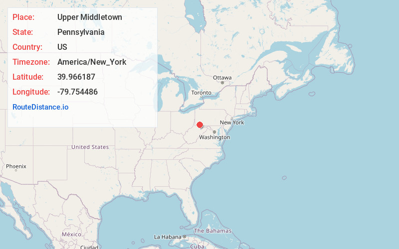
Static map view of Upper Middletown, Pennsylvania
Browse Places by Distance
Places within specific distances from Upper Middletown
Short Distances
Long Distances
Click any distance to see all places within that range from Upper Middletown. Distances shown in miles (1 mile ≈ 1.61 kilometers).