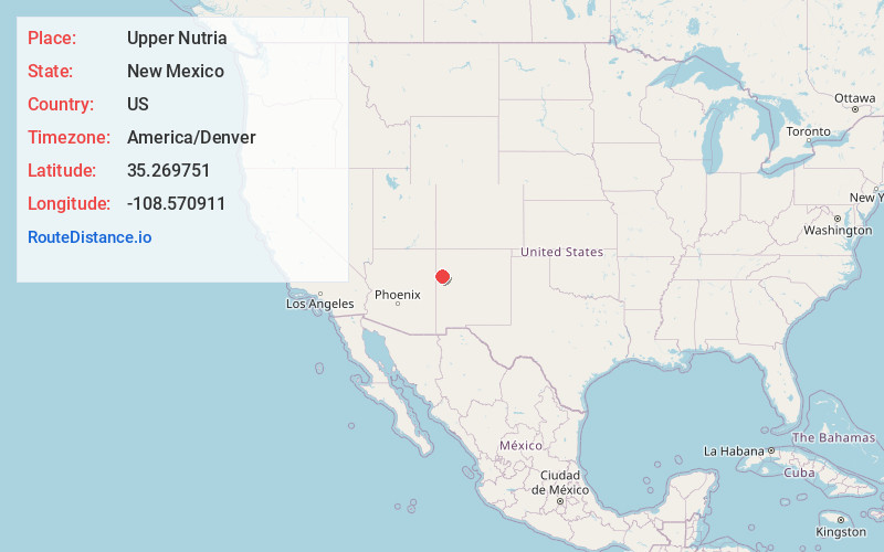
Distance to Upper Nutria, New Mexico

Calculating Your Route
Just a moment while we process your request...
Location Information
-
Full AddressUpper Nutria, NM
-
Coordinates35.2697512, -108.5709114
-
LocationNew Mexico , US
-
TimezoneAmerica/Denver
-
Current Local Time12:52:16 AM America/DenverFriday, June 13, 2025
-
Page Views0
Nearby Places
Found 10 places within 50 miles

Pinehaven
6.3 mi
10.1 km
Pinehaven, NM
Get directions

McGaffey
7.9 mi
12.7 km
McGaffey, NM
Get directions

Vanderwagen
10.4 mi
16.7 km
Vanderwagen, NM 87326
Get directions

Jamestown
13.2 mi
21.2 km
Jamestown, NM 87347
Get directions
Sundance
13.7 mi
22.0 km
Sundance, NM 87301
Get directions

Fort Wingate
14.1 mi
22.7 km
Fort Wingate, NM 87316
Get directions
McCune
17.9 mi
28.8 km
McCune, NM 87316
Get directions

Continental Divide
17.9 mi
28.8 km
Continental Divide, NM
Get directions

Church Rock
18.3 mi
29.5 km
Church Rock, NM
Get directions
Catalpa Canyon
19.7 mi
31.7 km
Catalpa Canyon, Gallup, NM 87301
Get directions
Location Links
Local Weather
Weather Information
Coming soon!
Location Map
Static map view of Upper Nutria, New Mexico
Browse Places by Distance
Places within specific distances from Upper Nutria
Short Distances
Long Distances
Click any distance to see all places within that range from Upper Nutria. Distances shown in miles (1 mile ≈ 1.61 kilometers).