Distance to Valley Forge, Pennsylvania

Calculating Your Route
Just a moment while we process your request...
Location Information
-
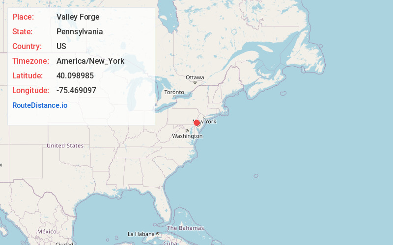
Full AddressValley Forge, PA
-
Coordinates40.0989851, -75.4690966
-
LocationValley Forge , Pennsylvania , US
-
TimezoneAmerica/New_York
-
Current Local Time1:12:33 AM America/New_YorkFriday, June 20, 2025
-
Page Views0
About Valley Forge
The village of Valley Forge is an unincorporated settlement. It is located on the west side of Valley Forge National Historical Park at the confluence of Valley Creek and the Schuylkill River in Pennsylvania. The remaining village is in Schuylkill Township of Chester County.


Nearby Places
Found 10 places within 50 miles

Mt Misery
0.8 mi
1.3 km
Mt Misery, Tredyffrin Township, PA 19460
Get directions

Chesterbrook
1.7 mi
2.7 km
Chesterbrook, PA
Get directions

Corner Store
2.3 mi
3.7 km
Corner Store, Schuylkill Township, PA 19460
Get directions

Tredyffrin Township
2.6 mi
4.2 km
Tredyffrin Township, PA
Get directions

Audubon
2.8 mi
4.5 km
Audubon, PA
Get directions

Phoenixville
3.3 mi
5.3 km
Phoenixville, PA 19460
Get directions

Mont Clare
3.3 mi
5.3 km
Mont Clare, PA
Get directions
Cedar Hollow
3.4 mi
5.5 km
Cedar Hollow, Devault, PA 19355
Get directions
Aldham
3.9 mi
6.3 km
Aldham, PA 19460
Get directions

Lower Providence Township
3.9 mi
6.3 km
Lower Providence Township, PA
Get directions
Location Links
Local Weather
Weather Information
Coming soon!
Location Map
Static map view of Valley Forge, Pennsylvania
Browse Places by Distance
Places within specific distances from Valley Forge
Short Distances
Long Distances
Click any distance to see all places within that range from Valley Forge. Distances shown in miles (1 mile ≈ 1.61 kilometers).