Distance to Vancleve, Kentucky

Calculating Your Route
Just a moment while we process your request...
Location Information
-
Full AddressVancleve, KY 41385
-
Coordinates37.6275889, -83.413515
-
LocationVancleve , Kentucky , US
-
TimezoneAmerica/New_York
-
Current Local Time1:08:21 AM America/New_YorkWednesday, June 25, 2025
-
Page Views0
About Vancleve
Vancleve is an unincorporated community in Breathitt County, Kentucky. Vancleve is located at the junction of Kentucky Route 15 and Kentucky Route 205 5.4 miles north-northwest of Jackson. Vancleve has a post office with ZIP code 41385, which opened on November 6, 1903.
Nearby Places
Found 10 places within 50 miles

Sewell
1.4 mi
2.3 km
Sewell, KY 41385
Get directions
Fivemile
2.3 mi
3.7 km
Fivemile, KY 41339
Get directions
Wolverine
3.2 mi
5.1 km
Wolverine, KY 41339
Get directions
Pence
3.3 mi
5.3 km
Pence, KY 41301
Get directions
Paxton
3.4 mi
5.5 km
Paxton, KY 41385
Get directions
Bethany
3.6 mi
5.8 km
Bethany, KY 41301
Get directions
Hollonville
4.1 mi
6.6 km
Hollonville, KY 41301
Get directions
Elkatawa
4.9 mi
7.9 km
Elkatawa, KY 41339
Get directions
Hurst
5.0 mi
8.0 km
Hurst, KY 41339
Get directions

Jackson
5.4 mi
8.7 km
Jackson, KY 41339
Get directions
Location Links
Local Weather
Weather Information
Coming soon!
Location Map
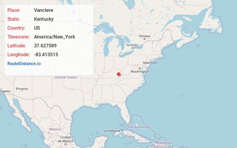
Static map view of Vancleve, Kentucky
Browse Places by Distance
Places within specific distances from Vancleve
Short Distances
Long Distances
Click any distance to see all places within that range from Vancleve. Distances shown in miles (1 mile ≈ 1.61 kilometers).