Distance to Varnamtown, North Carolina

Calculating Your Route
Just a moment while we process your request...
Location Information
-
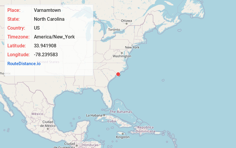
Full AddressVarnamtown, NC 28462
-
Coordinates33.9419083, -78.2395828
-
LocationVarnamtown , North Carolina , US
-
TimezoneAmerica/New_York
-
Current Local Time5:14:27 AM America/New_YorkTuesday, June 17, 2025
-
Page Views0
About Varnamtown
Varnamtown is a town in Brunswick County, North Carolina, United States situated on the banks of the Lockwood Folly River. The population was 541 at the 2010 census. It is part of the Wilmington, NC Metropolitan Statistical Area.


Nearby Places
Found 10 places within 50 miles

Holden Beach
2.6 mi
4.2 km
Holden Beach, NC
Get directions

Oak Island
4.8 mi
7.7 km
Oak Island, NC
Get directions
Brunswick County
6.3 mi
10.1 km
Brunswick County, NC
Get directions

St James
7.1 mi
11.4 km
St James, NC 28461
Get directions

Shallotte
8.3 mi
13.4 km
Shallotte, NC
Get directions

Southport
12.7 mi
20.4 km
Southport, NC 28461
Get directions

Sunset Beach
16.5 mi
26.6 km
Sunset Beach, NC
Get directions

Calabash
19.1 mi
30.7 km
Calabash, NC
Get directions

Carolina Shores
19.4 mi
31.2 km
Carolina Shores, NC 28467
Get directions

Kure Beach
19.4 mi
31.2 km
Kure Beach, NC
Get directions
Location Links
Local Weather
Weather Information
Coming soon!
Location Map
Static map view of Varnamtown, North Carolina
Browse Places by Distance
Places within specific distances from Varnamtown
Short Distances
Long Distances
Click any distance to see all places within that range from Varnamtown. Distances shown in miles (1 mile ≈ 1.61 kilometers).