Distance to Velarde, New Mexico

Calculating Your Route
Just a moment while we process your request...
Location Information
-
Full AddressVelarde, NM 87582
-
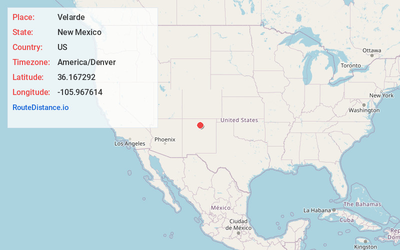
Coordinates36.1672917, -105.9676136
-
LocationVelarde , New Mexico , US
-
TimezoneAmerica/Denver
-
Current Local Time5:55:58 AM America/DenverFriday, June 20, 2025
-
Page Views0
About Velarde
Velarde is a census-designated place in Rio Arriba County, New Mexico, United States. The population was 502 at the time of the 2010 census. Velarde is located on New Mexico State Road 68, in the Rio Grande Rift, at the point where the road enters the Rio Grande Gorge.
Nearby Places
Found 10 places within 50 miles

Los Luceros
6.0 mi
9.7 km
Los Luceros, NM 87566
Get directions

Ohkay Owingeh
9.8 mi
15.8 km
Ohkay Owingeh, NM
Get directions
Chamita
9.9 mi
15.9 km
Chamita, NM 87566
Get directions

Hernandez
11.1 mi
17.9 km
Hernandez, NM
Get directions

Chimayo
11.3 mi
18.2 km
Chimayo, NM
Get directions

Truchas
12.1 mi
19.5 km
Truchas, NM 87578
Get directions

La Puebla
12.4 mi
20.0 km
La Puebla, NM
Get directions
Cuartelez
12.4 mi
20.0 km
Cuartelez, NM 87567
Get directions
Chamisal
12.8 mi
20.6 km
Chamisal, NM
Get directions
Rio Lucio
13.6 mi
21.9 km
Rio Lucio, NM 87553
Get directions
Location Links
Local Weather
Weather Information
Coming soon!
Location Map
Static map view of Velarde, New Mexico
Browse Places by Distance
Places within specific distances from Velarde
Short Distances
Long Distances
Click any distance to see all places within that range from Velarde. Distances shown in miles (1 mile ≈ 1.61 kilometers).