Distance to Velma, Nebraska

Calculating Your Route
Just a moment while we process your request...
Location Information
-
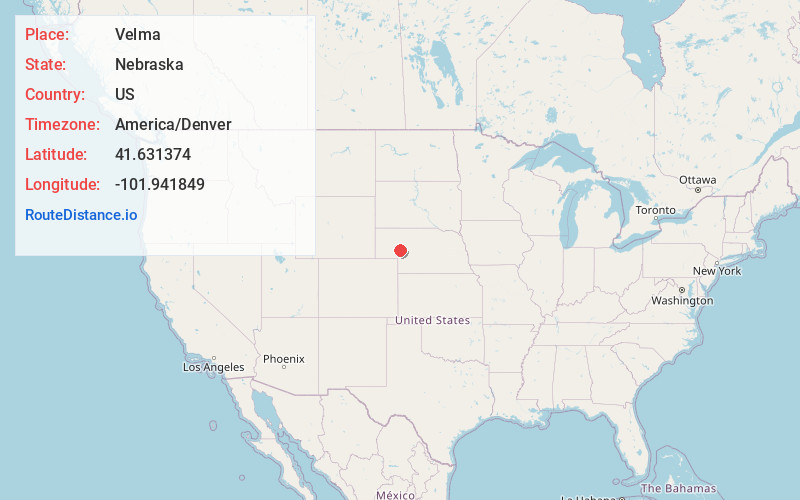
Full AddressVelma, NE 69121
-
Coordinates41.6313736, -101.9418486
-
LocationNebraska , US
-
TimezoneAmerica/Denver
-
Current Local Time12:18:50 AM America/DenverTuesday, June 3, 2025
-
Page Views0
About Velma
Velma is an unincorporated community in Arthur County, Nebraska, United States.
Nearby Places
Found 10 places within 50 miles

Arthur
13.6 mi
21.9 km
Arthur, NE 69121
Get directions
Rackett
13.9 mi
22.4 km
Rackett, Blue Creek Precinct, NE 69147
Get directions
McKeag
15.6 mi
25.1 km
McKeag, NE 69146
Get directions
Ruthton
22.4 mi
36.0 km
Ruthton, Lonergan Precinct, NE 69147
Get directions
Belmar
23.0 mi
37.0 km
Belmar, NE 69147
Get directions

Lewellen
23.2 mi
37.3 km
Lewellen, NE 69147
Get directions
Lena
23.4 mi
37.7 km
Lena, NE 69366
Get directions
Calora
25.5 mi
41.0 km
Calora, NE 69165
Get directions
Lemoyne
25.6 mi
41.2 km
Lemoyne, NE 69146
Get directions

Oshkosh
26.0 mi
41.8 km
Oshkosh, NE 69154
Get directions
Location Links
Local Weather
Weather Information
Coming soon!
Location Map
Static map view of Velma, Nebraska
Browse Places by Distance
Places within specific distances from Velma
Short Distances
Long Distances
Click any distance to see all places within that range from Velma. Distances shown in miles (1 mile ≈ 1.61 kilometers).