Distance to Victory Camp, Ohio

Calculating Your Route
Just a moment while we process your request...
Location Information
-
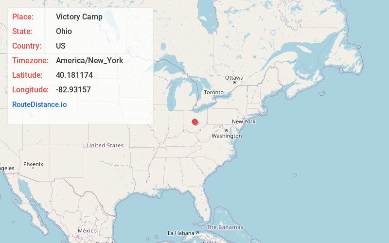
Full AddressVictory Camp, Genoa Township, OH 43082
-
Coordinates40.1811738, -82.9315699
-
LocationGenoa Township , Ohio , US
-
TimezoneAmerica/New_York
-
Current Local Time4:00:53 PM America/New_YorkFriday, May 23, 2025
-
Page Views0
Nearby Places
Found 10 places within 50 miles

Africa
1.4 mi
2.3 km
Africa, OH 43021
Get directions

Galena
3.6 mi
5.8 km
Galena, OH 43021
Get directions

Westerville
3.8 mi
6.1 km
Westerville, OH
Get directions

Sunbury
5.7 mi
9.2 km
Sunbury, OH
Get directions

Huber Ridge
6.4 mi
10.3 km
Huber Ridge, OH 43081
Get directions

Worthington
7.6 mi
12.2 km
Worthington, OH
Get directions

Powell
7.8 mi
12.6 km
Powell, OH 43065
Get directions

New Albany
9.4 mi
15.1 km
New Albany, OH
Get directions

Kilbourne
10.4 mi
16.7 km
Kilbourne, OH
Get directions

Shawnee Hills
10.8 mi
17.4 km
Shawnee Hills, OH 43065
Get directions
Location Links
Local Weather
Weather Information
Coming soon!
Location Map
Static map view of Victory Camp, Ohio
Browse Places by Distance
Places within specific distances from Victory Camp
Short Distances
Long Distances
Click any distance to see all places within that range from Victory Camp. Distances shown in miles (1 mile ≈ 1.61 kilometers).