Distance to Vida, Oregon

Calculating Your Route
Just a moment while we process your request...
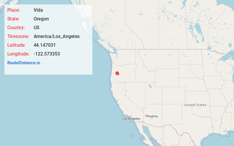
Location Information
-
Full AddressVida, OR
-
Coordinates44.1470308, -122.5733529
-
LocationVida , Oregon , US
-
TimezoneAmerica/Los_Angeles
-
Current Local Time7:12:49 AM America/Los_AngelesSaturday, May 31, 2025
-
Page Views0
About Vida
Vida is an unincorporated community in Lane County, Oregon, United States. It is located on Oregon Route 126 and the McKenzie River.
Vida was originally named "Gate Creek", but this caused confusion with a community of "Gates Creek" in Washington County, so the name of the postmaster's daughter was selected instead.
Nearby Places
Found 10 places within 50 miles

Leaburg
5.8 mi
9.3 km
Leaburg, OR 97489
Get directions

Nimrod
7.8 mi
12.6 km
Nimrod, OR 97488
Get directions

Finn Rock
9.5 mi
15.3 km
Finn Rock, OR 97488
Get directions
Deerhorn
9.7 mi
15.6 km
Deerhorn, OR 97478
Get directions
Walterville
12.7 mi
20.4 km
Walterville, OR 97478
Get directions
Mabel
13.4 mi
21.6 km
Mabel, OR 97454
Get directions

Marcola
14.3 mi
23.0 km
Marcola, OR
Get directions
Winberry
15.2 mi
24.5 km
Winberry, OR 97438
Get directions

Rainbow
16.8 mi
27.0 km
Rainbow, OR 97413
Get directions

Mohawk
16.9 mi
27.2 km
Mohawk, OR 97478
Get directions
Location Links
Local Weather
Weather Information
Coming soon!
Location Map
Static map view of Vida, Oregon
Browse Places by Distance
Places within specific distances from Vida
Short Distances
Long Distances
Click any distance to see all places within that range from Vida. Distances shown in miles (1 mile ≈ 1.61 kilometers).