Distance to Vignes, Wisconsin

Calculating Your Route
Just a moment while we process your request...
Location Information
-
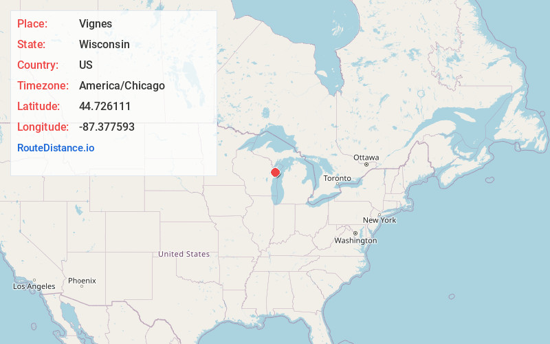
Full AddressVignes, Clay Banks, WI 54235
-
Coordinates44.7261108, -87.3775934
-
LocationClay Banks , Wisconsin , US
-
TimezoneAmerica/Chicago
-
Current Local Time4:49:02 AM America/ChicagoThursday, June 19, 2025
-
Page Views0
About Vignes
Vignes is an unincorporated community located in the town of Clay Banks in Door County, Wisconsin. County Highway OO is the main highway to Vignes and connects to County Highway U.
Nearby Places
Found 10 places within 50 miles

Carnot
2.5 mi
4.0 km
Carnot, Forestville, WI 54213
Get directions
Forestville
5.6 mi
9.0 km
Forestville, WI 54213
Get directions

Sturgeon Bay
7.5 mi
12.1 km
Sturgeon Bay, WI 54235
Get directions
Kolberg
8.4 mi
13.5 km
Kolberg, Brussels, WI 54213
Get directions

Algoma
8.5 mi
13.7 km
Algoma, WI 54201
Get directions

Little Sturgeon Bay
11.7 mi
18.8 km
Little Sturgeon Bay, Gardner, WI
Get directions

Alaska
14.2 mi
22.9 km
Alaska, WI 54216
Get directions

Carlsville
15.7 mi
25.3 km
Carlsville, WI 54209
Get directions
Casco
16.6 mi
26.7 km
Casco, WI 54205
Get directions

Kewaunee
19.5 mi
31.4 km
Kewaunee, WI 54216
Get directions
Location Links
Local Weather
Weather Information
Coming soon!
Location Map
Static map view of Vignes, Wisconsin
Browse Places by Distance
Places within specific distances from Vignes
Short Distances
Long Distances
Click any distance to see all places within that range from Vignes. Distances shown in miles (1 mile ≈ 1.61 kilometers).