Distance to Vilas, North Carolina

Calculating Your Route
Just a moment while we process your request...
Location Information
-
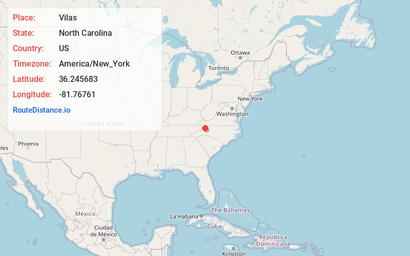
Full AddressVilas, NC 28692
-
Coordinates36.245683, -81.7676104
-
LocationVilas , North Carolina , US
-
TimezoneAmerica/New_York
-
Current Local Time5:17:43 AM America/New_YorkWednesday, June 18, 2025
-
Page Views0
About Vilas
Vilas is an unincorporated community in Watauga County, North Carolina, United States. The community is located at Linville Creek, along U.S. Route 321 and U.S. Route 421, 5.6 miles west-northwest of Boone. The Vilas post office, with ZIP code 28692, was established in 1885.


Nearby Places
Found 10 places within 50 miles

Lovill
2.0 mi
3.2 km
Lovill, NC 28692
Get directions

Valle Crucis
2.6 mi
4.2 km
Valle Crucis, NC
Get directions
Sweetwater
4.4 mi
7.1 km
Sweetwater, NC 28692
Get directions
Forest Grove
4.4 mi
7.1 km
Forest Grove, NC 28692
Get directions
Mabel
5.0 mi
8.0 km
Mabel, NC 28698
Get directions

Boone
5.1 mi
8.2 km
Boone, NC
Get directions
Shulls Mill
5.1 mi
8.2 km
Shulls Mill, NC 28607
Get directions

Foscoe
5.8 mi
9.3 km
Foscoe, NC
Get directions
Leander
5.8 mi
9.3 km
Leander, NC 28679
Get directions

Meat Camp
6.3 mi
10.1 km
Meat Camp, NC 28684
Get directions
Location Links
Local Weather
Weather Information
Coming soon!
Location Map
Static map view of Vilas, North Carolina
Browse Places by Distance
Places within specific distances from Vilas
Short Distances
Long Distances
Click any distance to see all places within that range from Vilas. Distances shown in miles (1 mile ≈ 1.61 kilometers).