Distance to Vinalhaven, Maine

Calculating Your Route
Just a moment while we process your request...
Location Information
-
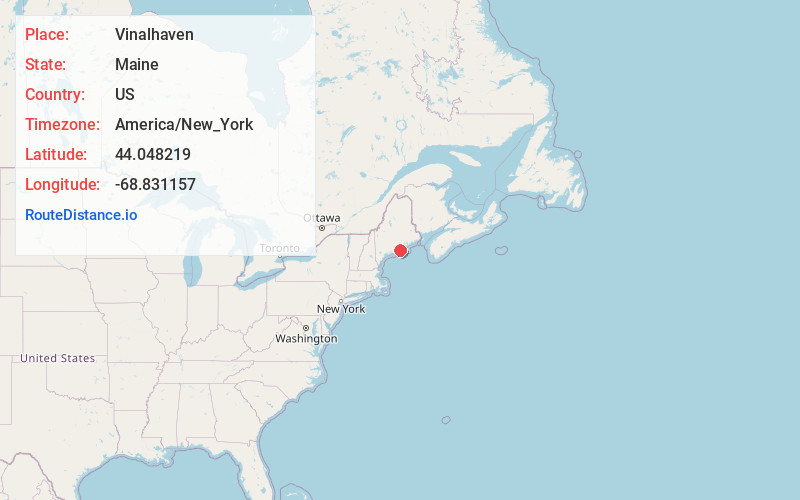
Full AddressVinalhaven, ME
-
Coordinates44.0482189, -68.8311573
-
LocationVinalhaven , Maine , US
-
TimezoneAmerica/New_York
-
Current Local Time6:32:48 PM America/New_YorkFriday, June 20, 2025
-
Page Views0
About Vinalhaven
Vinalhaven is a town in Knox County, Maine, United States. Its town limits include the island of Vinalhaven, the largest of the Fox Islands, and smaller islands, some accessible from Vinalhaven Island by bridge or causeway. The population was 1,279 at the 2020 census.


Nearby Places
Found 10 places within 50 miles

Owls Head
11.5 mi
18.5 km
Owls Head, ME
Get directions

Rockland
14.3 mi
23.0 km
Rockland, ME
Get directions

South Thomaston
14.7 mi
23.7 km
South Thomaston, ME
Get directions

Rockport
15.8 mi
25.4 km
Rockport, ME
Get directions

Camden
16.1 mi
25.9 km
Camden, ME
Get directions

Deer Isle
17.0 mi
27.4 km
Deer Isle, ME
Get directions

Thomaston
17.5 mi
28.2 km
Thomaston, ME
Get directions

Lincolnville
18.3 mi
29.5 km
Lincolnville, ME 04849
Get directions

St. George
19.8 mi
31.9 km
St. George, ME
Get directions

Sedgwick
20.7 mi
33.3 km
Sedgwick, ME
Get directions
Location Links
Local Weather
Weather Information
Coming soon!
Location Map
Static map view of Vinalhaven, Maine
Browse Places by Distance
Places within specific distances from Vinalhaven
Short Distances
Long Distances
Click any distance to see all places within that range from Vinalhaven. Distances shown in miles (1 mile ≈ 1.61 kilometers).