Distance to Vinita Park, Missouri

Calculating Your Route
Just a moment while we process your request...
Location Information
-
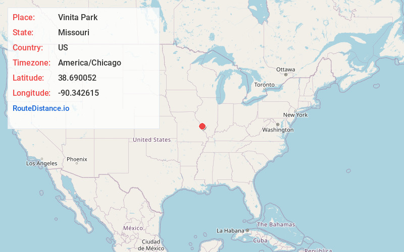
Full AddressVinita Park, MO
-
Coordinates38.6900515, -90.3426154
-
LocationVinita Park , Missouri , US
-
TimezoneAmerica/Chicago
-
Current Local Time12:25:08 PM America/ChicagoSunday, June 1, 2025
-
Page Views0
About Vinita Park
Vinita Terrace was a village in St. Louis County, Missouri, United States. The population was 277 at the 2010 census.
Voters of both Vinita Park and neighboring Vinita Terrace voted on November 8, 2016, to consolidate into one municipality to be called the City of Vinita Park. The merger took effect May 10, 2017.

Nearby Places
Found 10 places within 50 miles

Charlack
0.9 mi
1.4 km
Charlack, MO 63114
Get directions

Overland
1.3 mi
2.1 km
Overland, MO
Get directions
St John
1.6 mi
2.6 km
St John, MO
Get directions
Bel-Ridge
1.8 mi
2.9 km
Bel-Ridge, MO
Get directions
Pagedale
1.9 mi
3.1 km
Pagedale, MO
Get directions
Breckenridge Hills
2.2 mi
3.5 km
Breckenridge Hills, MO
Get directions
Olivette
2.5 mi
4.0 km
Olivette, MO 63132
Get directions
Wellston
2.6 mi
4.2 km
Wellston, MO
Get directions

Woodson Terrace
2.7 mi
4.3 km
Woodson Terrace, MO
Get directions

Normandy
3.2 mi
5.1 km
Normandy, MO
Get directions
Location Links
Local Weather
Weather Information
Coming soon!
Location Map
Static map view of Vinita Park, Missouri
Browse Places by Distance
Places within specific distances from Vinita Park
Short Distances
Long Distances
Click any distance to see all places within that range from Vinita Park. Distances shown in miles (1 mile ≈ 1.61 kilometers).