Distance to Wakulla, North Carolina

Calculating Your Route
Just a moment while we process your request...
Location Information
-
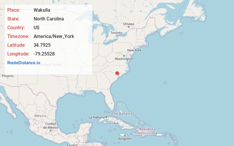
Full AddressWakulla, NC
-
Coordinates34.7924999, -79.25528
-
LocationWakulla , North Carolina , US
-
TimezoneAmerica/New_York
-
Current Local Time5:11:05 PM America/New_YorkTuesday, June 17, 2025
-
Page Views0
About Wakulla
Wakulla is a census-designated place in Robeson County, North Carolina, United States. During the 2010 census, the population was reported to be 105.
Nearby Places
Found 10 places within 50 miles

Prospect
4.3 mi
6.9 km
Prospect, NC
Get directions

Red Springs
4.4 mi
7.1 km
Red Springs, NC
Get directions

Maxton
6.6 mi
10.6 km
Maxton, NC 28364
Get directions
Shannon
7.7 mi
12.4 km
Shannon, NC 28386
Get directions

Pembroke
8.5 mi
13.7 km
Pembroke, NC 28372
Get directions

Wagram
9.1 mi
14.6 km
Wagram, NC 28396
Get directions
Rennert
10.0 mi
16.1 km
Rennert, NC 28386
Get directions
East Laurinburg
11.0 mi
17.7 km
East Laurinburg, NC 28352
Get directions

Laurinburg
11.8 mi
19.0 km
Laurinburg, NC 28352
Get directions
Raemon
11.9 mi
19.2 km
Raemon, NC 28364
Get directions
Location Links
Local Weather
Weather Information
Coming soon!
Location Map
Static map view of Wakulla, North Carolina
Browse Places by Distance
Places within specific distances from Wakulla
Short Distances
Long Distances
Click any distance to see all places within that range from Wakulla. Distances shown in miles (1 mile ≈ 1.61 kilometers).