Distance to Wallace, South Carolina

Calculating Your Route
Just a moment while we process your request...
Location Information
-
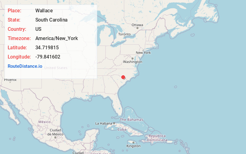
Full AddressWallace, SC 29596
-
Coordinates34.7198151, -79.8416023
-
LocationWallace , South Carolina , US
-
TimezoneAmerica/New_York
-
Current Local Time12:04:33 PM America/New_YorkMonday, June 23, 2025
-
Page Views0
About Wallace
Wallace is a census-designated place and unincorporated community in northwestern Marlboro County, South Carolina, United States. It lies at the intersection of U.S. Route 1 with SC 9 and SC 177, northwest of the city of Bennettsville, the county seat of Marlboro County. Its elevation is 151&feet.


Nearby Places
Found 10 places within 50 miles

Cheraw
2.8 mi
4.5 km
Cheraw, SC 29520
Get directions

Bennettsville
11.4 mi
18.3 km
Bennettsville, SC 29512
Get directions

Cordova
13.4 mi
21.6 km
Cordova, NC 28379
Get directions

Gibson
13.4 mi
21.6 km
Gibson, NC 28343
Get directions
East Rockingham
13.9 mi
22.4 km
East Rockingham, NC 28379
Get directions

Chesterfield
14.0 mi
22.5 km
Chesterfield, SC 29709
Get directions

Hamlet
14.1 mi
22.7 km
Hamlet, NC 28345
Get directions

Rockingham
15.6 mi
25.1 km
Rockingham, NC 28379
Get directions
McColl
17.2 mi
27.7 km
McColl, SC 29570
Get directions

Laurel Hill
18.0 mi
29.0 km
Laurel Hill, NC 28351
Get directions
Location Links
Local Weather
Weather Information
Coming soon!
Location Map
Static map view of Wallace, South Carolina
Browse Places by Distance
Places within specific distances from Wallace
Short Distances
Long Distances
Click any distance to see all places within that range from Wallace. Distances shown in miles (1 mile ≈ 1.61 kilometers).