Distance to Cordova, North Carolina

Calculating Your Route
Just a moment while we process your request...
Location Information
-
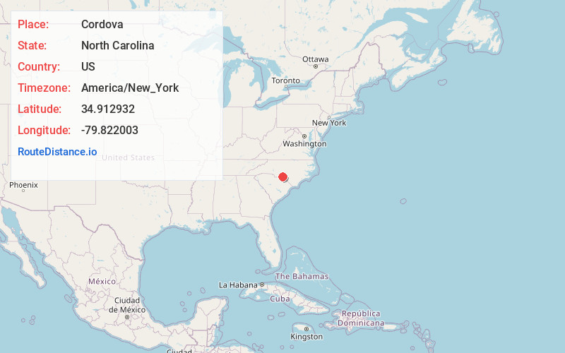
Full AddressCordova, NC 28379
-
Coordinates34.9129318, -79.8220026
-
LocationCordova , North Carolina , US
-
TimezoneAmerica/New_York
-
Current Local Time12:20:28 AM America/New_YorkFriday, June 20, 2025
-
Page Views0
About Cordova
Cordova is an unincorporated community and former census-designated place in Richmond County, North Carolina, United States. Its population was 1,775 as of the 2010 census. Cordova has a post office with ZIP code 28330.
Cordova is a suburban town of Rockingham.


Nearby Places
Found 10 places within 50 miles

Rockingham
3.3 mi
5.3 km
Rockingham, NC 28379
Get directions

East Rockingham
3.7 mi
6.0 km
East Rockingham, NC 28379
Get directions

Hamlet
7.5 mi
12.1 km
Hamlet, NC 28345
Get directions

Wadesboro
14.9 mi
24.0 km
Wadesboro, NC
Get directions

Cheraw
15.3 mi
24.6 km
Cheraw, SC 29520
Get directions

Chesterfield
19.4 mi
31.2 km
Chesterfield, SC 29709
Get directions

Bennettsville
21.9 mi
35.2 km
Bennettsville, SC 29512
Get directions

Polkton
22.4 mi
36.0 km
Polkton, NC 28135
Get directions

Laurinburg
22.5 mi
36.2 km
Laurinburg, NC 28352
Get directions
McColl
23.0 mi
37.0 km
McColl, SC 29570
Get directions
Location Links
Local Weather
Weather Information
Coming soon!
Location Map
Static map view of Cordova, North Carolina
Browse Places by Distance
Places within specific distances from Cordova
Short Distances
Long Distances
Click any distance to see all places within that range from Cordova. Distances shown in miles (1 mile ≈ 1.61 kilometers).