Distance to Wangle Junction, Virginia

Calculating Your Route
Just a moment while we process your request...
Location Information
-
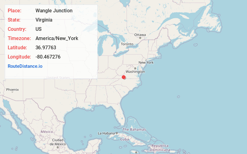
Full AddressWangle Junction, VA 24149
-
Coordinates36.9776296, -80.4672758
-
LocationVirginia , US
-
TimezoneAmerica/New_York
-
Current Local Time5:21:32 PM America/New_YorkWednesday, June 18, 2025
-
Page Views0
About Wangle Junction
Wangle Junction is an unincorporated community in Floyd County, Virginia, United States.
Nearby Places
Found 10 places within 50 miles

Duncan
4.7 mi
7.6 km
Duncan, VA 24380
Get directions
Sowers
5.2 mi
8.4 km
Sowers, VA 24149
Get directions
Little Montgomery
5.4 mi
8.7 km
Little Montgomery, VA 24347
Get directions
Childress
5.8 mi
9.3 km
Childress, VA 24073
Get directions
Simpkinstown
6.2 mi
10.0 km
Simpkinstown, VA 24347
Get directions

Riner
6.3 mi
10.1 km
Riner, VA 24149
Get directions
Graysontown
6.7 mi
10.8 km
Graysontown, VA 24141
Get directions

Indian Valley
6.7 mi
10.8 km
Indian Valley, VA 24105
Get directions

Pilot
7.7 mi
12.4 km
Pilot, VA 24138
Get directions
Basham
8.0 mi
12.9 km
Basham, VA 24138
Get directions
Location Links
Local Weather
Weather Information
Coming soon!
Location Map
Static map view of Wangle Junction, Virginia
Browse Places by Distance
Places within specific distances from Wangle Junction
Short Distances
Long Distances
Click any distance to see all places within that range from Wangle Junction. Distances shown in miles (1 mile ≈ 1.61 kilometers).