Distance to Wannaska, Minnesota

Calculating Your Route
Just a moment while we process your request...
Location Information
-
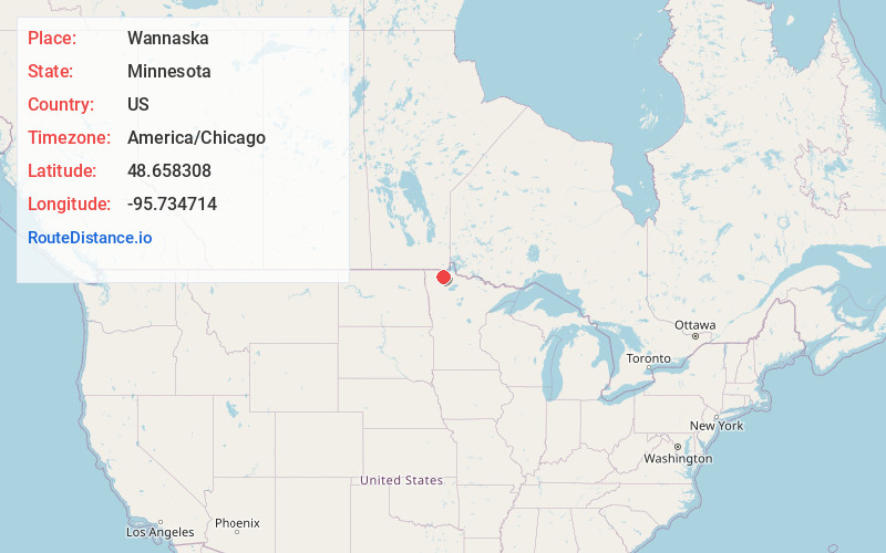
Full AddressWannaska, MN 56761
-
Coordinates48.6583084, -95.7347135
-
LocationWannaska , Minnesota , US
-
TimezoneAmerica/Chicago
-
Current Local Time7:01:35 AM America/ChicagoThursday, July 3, 2025
-
Page Views0
About Wannaska
Wannaska is an unincorporated community in Roseau County, Minnesota, United States.
The community is located 13 miles south of Roseau on State Highway 89. Wannaska is located within Grimstad Township and Mickinock Township. Wannaska has a post office with ZIP code 56761.
Nearby Places
Found 10 places within 50 miles

Roseau
13.0 mi
20.9 km
Roseau, MN 56751
Get directions

Winner
14.1 mi
22.7 km
Winner, MN 56751
Get directions
Fox
14.5 mi
23.3 km
Fox, MN 56751
Get directions
Badger
15.4 mi
24.8 km
Badger, MN 56714
Get directions
Salol
16.2 mi
26.1 km
Salol, MN 56756
Get directions
Gatzke
16.3 mi
26.2 km
Gatzke, MN 56724
Get directions

Greenbush
20.6 mi
33.2 km
Greenbush, MN 56726
Get directions

Strathcona
21.1 mi
34.0 km
Strathcona, MN 56759
Get directions
Haug
23.3 mi
37.5 km
Haug, MN 56726
Get directions
Pinecreek
24.0 mi
38.6 km
Pinecreek, MN 56751
Get directions
Location Links
Local Weather
Weather Information
Coming soon!
Location Map
Static map view of Wannaska, Minnesota
Browse Places by Distance
Places within specific distances from Wannaska
Short Distances
Long Distances
Click any distance to see all places within that range from Wannaska. Distances shown in miles (1 mile ≈ 1.61 kilometers).