Distance to War, West Virginia

Calculating Your Route
Just a moment while we process your request...
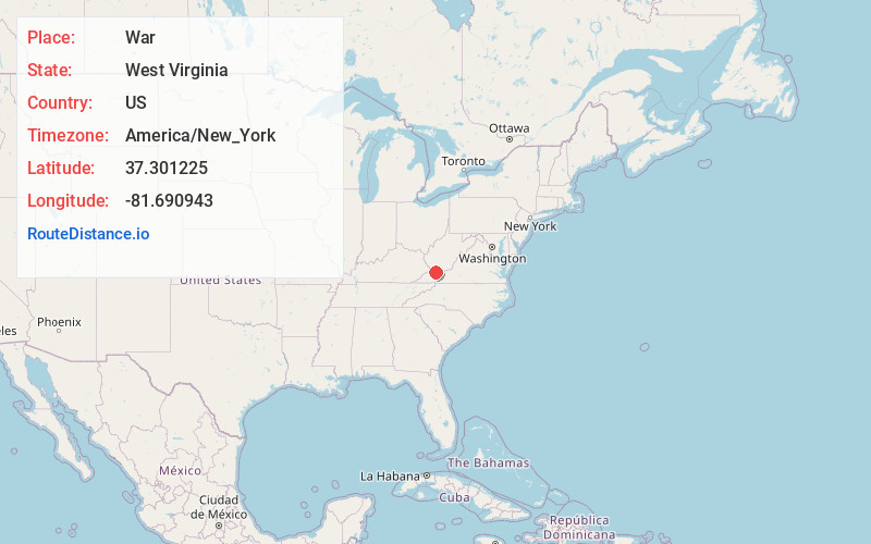
Location Information
-
Full AddressWar, WV 24892
-
Coordinates37.3012246, -81.6909425
-
LocationWar , West Virginia , US
-
TimezoneAmerica/New_York
-
Current Local Time3:50:58 PM America/New_YorkTuesday, June 3, 2025
-
Website
-
Page Views0
About War
War is a city in McDowell County, West Virginia, United States. The population was 690 at the 2020 census. War was incorporated in 1920 by the Circuit Court of McDowell County. Its name is derived from War Creek, whose confluence with Dry Fork is located within the city.


Nearby Places
Found 10 places within 50 miles

Gary
8.9 mi
14.3 km
Gary, WV
Get directions

Welch
10.8 mi
17.4 km
Welch, WV 24801
Get directions

Cedar Bluff
15.2 mi
24.5 km
Cedar Bluff, VA
Get directions

Richlands
15.4 mi
24.8 km
Richlands, VA
Get directions

Tazewell
16.0 mi
25.7 km
Tazewell, VA
Get directions

Claypool Hill
16.8 mi
27.0 km
Claypool Hill, VA
Get directions

Boissevain
17.1 mi
27.5 km
Boissevain, VA 24605
Get directions

Raven
17.3 mi
27.8 km
Raven, VA
Get directions
Gratton
19.1 mi
30.7 km
Gratton, VA
Get directions

Gilbert Creek
22.1 mi
35.6 km
Gilbert Creek, WV 25621
Get directions
Location Links
Local Weather
Weather Information
Coming soon!
Location Map
Static map view of War, West Virginia
Browse Places by Distance
Places within specific distances from War
Short Distances
Long Distances
Click any distance to see all places within that range from War. Distances shown in miles (1 mile ≈ 1.61 kilometers).