Distance to Watauga, South Dakota

Calculating Your Route
Just a moment while we process your request...
Location Information
-
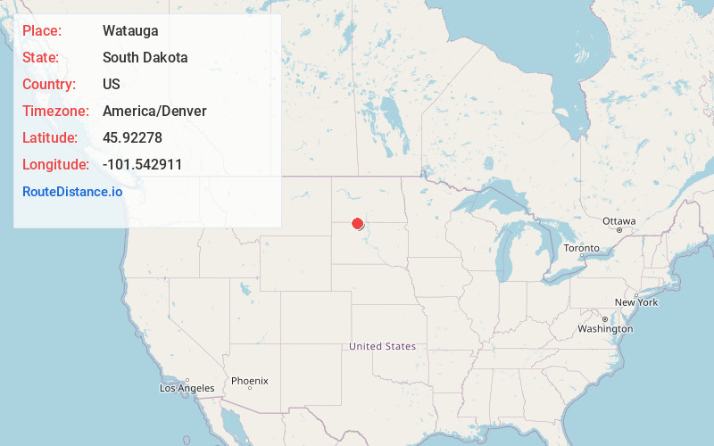
Full AddressWatauga, SD 57660
-
Coordinates45.9227796, -101.5429106
-
LocationWatauga , South Dakota , US
-
TimezoneAmerica/Denver
-
Current Local Time7:25:10 AM America/DenverMonday, June 16, 2025
-
Page Views0
About Watauga
Watauga is an unincorporated community in Corson County, South Dakota, United States. Although not tracked by the Census Bureau, Watauga has been assigned the ZIP code of 57660.
Watauga is a name derived from the Sioux language meaning "foam".
Nearby Places
Found 10 places within 50 miles

Morristown
8.7 mi
14.0 km
Morristown, SD 57645
Get directions

McIntosh
9.3 mi
15.0 km
McIntosh, SD 57641
Get directions

Keldron
12.8 mi
20.6 km
Keldron, SD 57634
Get directions
Thunder Hawk
20.8 mi
33.5 km
Thunder Hawk, SD 57638
Get directions

Bullhead
24.8 mi
39.9 km
Bullhead, SD 57621
Get directions
Brisbane
29.2 mi
47.0 km
Brisbane, ND 58529
Get directions
Shields
29.4 mi
47.3 km
Shields, ND 58569
Get directions
Chadwick
29.4 mi
47.3 km
Chadwick, ND 58568
Get directions
North Lemmon
29.6 mi
47.6 km
North Lemmon, ND 57638
Get directions
Porcupine
29.6 mi
47.6 km
Porcupine, ND 58568
Get directions
Location Links
Local Weather
Weather Information
Coming soon!
Location Map
Static map view of Watauga, South Dakota
Browse Places by Distance
Places within specific distances from Watauga
Short Distances
Long Distances
Click any distance to see all places within that range from Watauga. Distances shown in miles (1 mile ≈ 1.61 kilometers).