Distance to Thunder Hawk, South Dakota

Calculating Your Route
Just a moment while we process your request...
Location Information
-
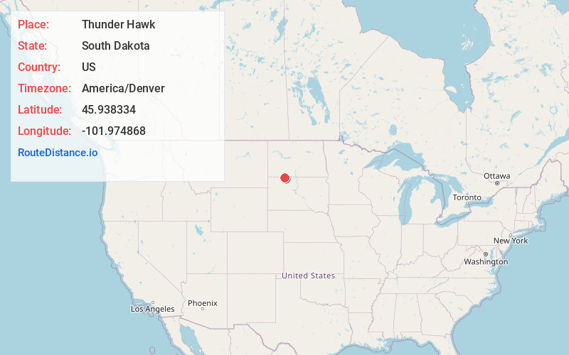
Full AddressThunder Hawk, SD 57638
-
Coordinates45.9383341, -101.9748682
-
LocationThunder Hawk , South Dakota , US
-
TimezoneAmerica/Denver
-
Current Local Time12:45:46 AM America/DenverThursday, June 19, 2025
-
Page Views0
About Thunder Hawk
Thunder Hawk is an unincorporated community in Corson County, in the U.S. state of South Dakota.
Nearby Places
Found 10 places within 50 miles

Keldron
8.0 mi
12.9 km
Keldron, SD 57634
Get directions

Lemmon
8.9 mi
14.3 km
Lemmon, SD 57638
Get directions

Morristown
12.1 mi
19.5 km
Morristown, SD 57645
Get directions
Petrel
14.1 mi
22.7 km
Petrel, Gilstrap Township, ND 57638
Get directions
Haynes
24.0 mi
38.6 km
Haynes, ND 58639
Get directions
Bentley
27.3 mi
43.9 km
Bentley, ND 58562
Get directions
Watrous
28.7 mi
46.2 km
Watrous, ND 58646
Get directions

McIntosh
30.1 mi
48.4 km
McIntosh, SD 57641
Get directions

New Leipzig
30.3 mi
48.8 km
New Leipzig, ND 58562
Get directions
Lodgepole Creek
31.1 mi
50.1 km
Lodgepole Creek, Lodgepole Township, SD 57640
Get directions
Location Links
Local Weather
Weather Information
Coming soon!
Location Map
Static map view of Thunder Hawk, South Dakota
Browse Places by Distance
Places within specific distances from Thunder Hawk
Short Distances
Long Distances
Click any distance to see all places within that range from Thunder Hawk. Distances shown in miles (1 mile ≈ 1.61 kilometers).